What is recorded here
An stone pile is marked on a map at Knockboy, dated c. 1799. It remains unlocated.
Compiled by: Michael Moore
Date of upload: 15 November 2010
The monument record does not grant public access. Check the route and ask the landowner before entering private land.
- What survives
- Recorded monument
Places near here
 Fort of the Three StonesEnclosure · 406 yd
 LisnatornyEnclosure · 427 yd
 Church in Knockboy (decies Without Drum By., Seskinan Par.)Church · 914 yd
 Kilbrien National SchoolOfficially recorded historic building · 1.3 mi
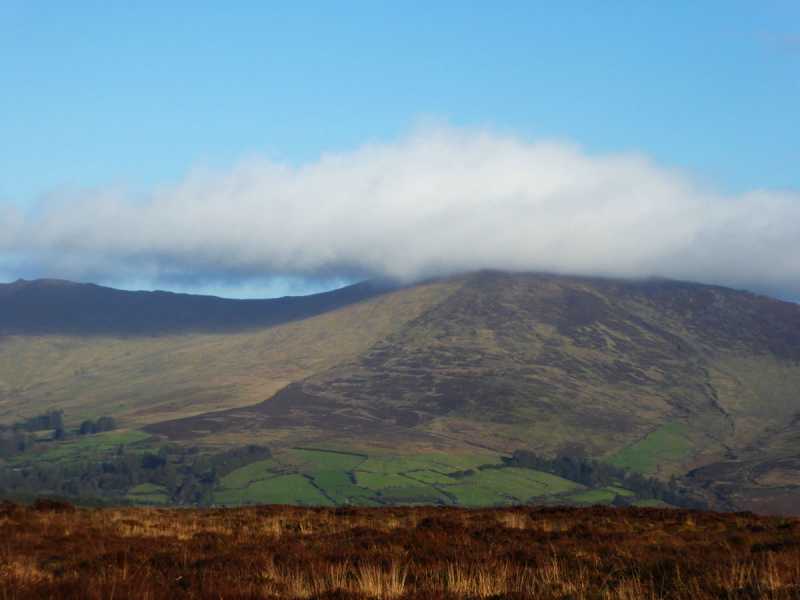 Bleantasour MountainMountain / peak · 2.3 mi
 Standing StoneMemorial · 2.8 mi
 Pigeon HillMountain / peak · 3.0 mi
 Site of CastleCastle, unclassified · 3.6 mi
 Curraghcloney CastleCastle · 4.5 mi
 Mahon ValleyCliff · 4.8 mi
 Laeka WoodWood · 4.9 mi
 Siglloges LoopWalking route · 5.8 mi