What is recorded here
Situated on a plateau of the Comeragh Mountains overlooking Coum Iarthar Lough to the W. Subrectangular cairn (dims. 8.3m E-W; 6.3m N-S; H 0.2-0.9m) with a pyramid of stones (H 0.9m) which is probably modern at the centre.
From the National Monuments Service (Archaeological Survey of Ireland) record WA006-062
The monument record does not grant public access. Check the route and ask the landowner before entering private land.
- What survives
- Recorded monument
Places near here
The Boolas Linear TrailWalking route · 998 yd CoumshingaunMountain corrie and lake · 1395 ydField boundary in KilclooneyField boundary · 1.1 miCairnCairn, ring-cairn · 1.1 miThe Boolas LoopWalking route · 1.4 miKnockaunapeebraMountain / peak · 1.6 miCoumfea North TopMountain / peak · 1.7 miMahon FallsWaterfall · 2.0 miMahon ValleyCliff · 2.2 miNell's CottageFarm house · 3.2 miCatholic Church of the Sacred Heart of JesusChurch/chapel · 3.5 miCastleCastle, tower house · 4.1 mi
 CoumshingaunMountain corrie and lake · 1395 ydField boundary in KilclooneyField boundary · 1.1 miCairnCairn, ring-cairn · 1.1 miThe Boolas LoopWalking route · 1.4 mi
 KnockaunapeebraMountain / peak · 1.6 mi
 Coumfea North TopMountain / peak · 1.7 mi
 Mahon FallsWaterfall · 2.0 mi
 Mahon ValleyCliff · 2.2 mi
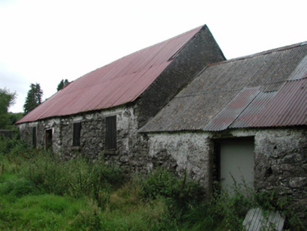 Nell's CottageFarm house · 3.2 mi
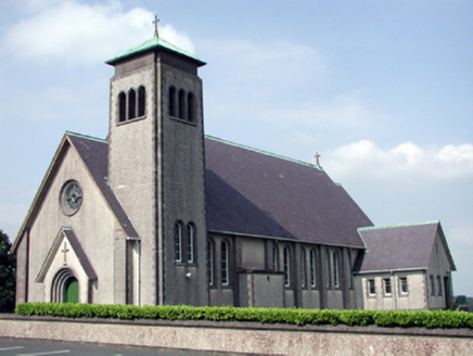 Catholic Church of the Sacred Heart of JesusChurch/chapel · 3.5 mi
 CastleCastle, tower house · 4.1 mi
Pictures: Kevin O'Brien 13, Wikimedia Commons · CC BY-SA 4.0; kevin higgins, Geograph · CC BY-SA 2.0; Colin Park, Geograph · CC BY-SA 2.0; Rwxrwxrwx at English Wikipedia, Wikimedia Commons · Public domain; National Inventory of Architectural Heritage; ethics girl, Geograph · CC BY-SA 2.0
More archaeology and monuments in County Waterford · All of County Waterford
What do you know about this place?