What is recorded here
Situated on a col below Carrickaruppera rock outcrop, c. 300m to the N and an area of rock outcrop c. 100m to the SE. Subcircular heather-covered area (ext. dims. 12m N-S; 11.5m E-W; int. dim. 8.6-8.9m) defined by a stone ring, with a short end of a rectangular cist (WA014-009005-) (dims. 2.3m x 0.6m) abutting the inner edge of the cairn at SE. Part of the ring is disturbed at E and a smaller ring-cairn (ext. diam. 3m; int. diam. 1.2m) is attached at N. A kerb circle (WA014-009002-) is adjacent c. 10 to the NE and a cairn (WA014-009003-) is c. 30m to S. It was damaged by forestry operations in 1993, but the area remains unplanted. (Moore 1995, 200, 205, K1)
Moore, M. (1995) A Bronze Age setlement and ritual centre in the Monavullagh Mountains, County Waterford. PPS 61, 191-243.
The above description is derived from the published 'Archaeological Inventory of County Waterford' (Dublin: Stationery Office, 1999). In certain instances the entries have been revised and updated in the light of recent research.
Compiled by: Michael Moore
Date of upload: 17 November 2010
A ring-cairn, likely dating to the Neolithic or early Bronze Age, possibly associated with ritual or funerary activity; its location on a col suggests a strategic or ceremonial significance in the landscape.
The monument record does not grant public access. Check the route and ask the landowner before entering private land.
- What survives
- Recorded monument
Places near here
 Field boundary in ScartnadrinymountainField boundary · 20 yd
 Hut site in ScartnadrinymountainHut site · 639 yd
 KilnKiln, lime · 1490 yd
 Standing StoneMemorial · 1689 yd
 Kilbrien National SchoolOfficially recorded historic building · 1.3 mi
 SeefinMountain / peak · 1.5 mi
 Coumaraglin MountainMountain / peak · 1.8 mi
 Mahon ValleyCliff · 2.8 mi
 Bawn in BarnankileBawn · 3.9 mi
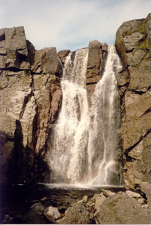 Mahon FallsWaterfall · 4.1 mi
 Magic Road (start)Heritage attraction · 4.2 mi
 Siglloges LoopWalking route · 4.6 mi