
What is recorded here
Located at the base of a steep NW-facing slope of the Monavullagh Mountains. A large heather-covered boulder (dims. 1.5m x 1.6m; max. T 0.4m) is surrounded by a ring of cairn material (int. diam. 2.5m; ext. diam. 5m; max. H 0.4m) which is open at NE. An upright stone (H 0.4m) marks the E side of the opening.
This monument forms part of the national monument complex at Coumaraglinmountain (National Monuments (Preservation) Order No. 4 of 1996).
The above description is derived from the published 'Archaeological Inventory of County Waterford' (Dublin: Stationery Office, 1999). In certain instances the entries have been revised and updated in the light of recent research.
Compiled by: Michael Moore
Date of upload/revision: 6 May 2011
A Neolithic ring-cairn; its circular arrangement and cairn material suggest ritual or funerary use, typical of early farming communities in the region.
The monument record does not grant public access. Check the route and ask the landowner before entering private land.
- What survives
- Recorded monument
Places near here
 BarrowBarrow, pond barrow · 223 yd
 Enclosure in CoumaraglinmountainEnclosure · 267 yd
 Standing StoneMemorial · 425 yd
 KilnKiln, lime · 985 yd
 Coumaraglin MountainMountain / peak · 1.3 mi
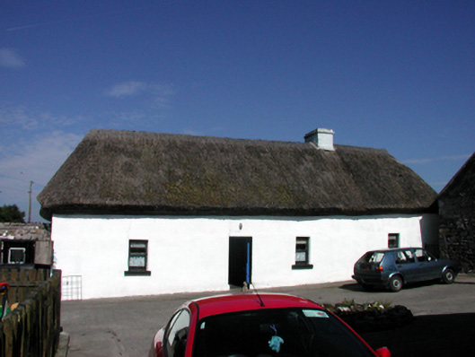 farm housefarm house · 1.7 mi
 CrohaunMountain / peak · 2.0 mi
 Bawn in BarnankileBawn · 3.0 mi
 Mahon ValleyCliff · 3.4 mi
 Castle (in ruins)Castle, tower house · 4.1 mi
 Magic Road (start)Heritage attraction · 4.3 mi
 Magic Road (finish)Heritage attraction · 4.3 mi
Other information
Photo: Credit not shown in the picture search · Rights wording not checked; contact us if this picture should be removed