
What is recorded here
In grassland, atop rise on SE-facing slope. Circular area (21.4m N-S; 19.25m E-W) enclosed by low earthen bank (H 1.28m) faced with stones. Bank worn to E and SE, surviving mainly as scarp (H 1.2m); entrance to SW (Wth 1.6m).
The above description is derived from the published 'Archaeological Inventory of County Cork. Volume 1: West Cork' (Dublin: Stationery Office, 1992). In certain instances the entries have been revised and updated in the light of recent research.
Date of upload/revision: 14 January 2009
Caherbaun, Coorlacka is a circular earthen and stone ringfort, likely dating to the early medieval period, situated on a grassy slope with a surviving entrance on the southwest. Local folklore, though not detailed in records, often associates such sites with fairy dwellings or ancient druidic activity.
The monument record does not grant public access. Check the route and ask the landowner before entering private land.
- What survives
- Recorded monument
Places near here
 Hut site in KilbrownHut site · 473 yd
 LisheenacorhaBarrow, ring-barrow · 725 yd
 KnocknamaddreeMountain / peak · 1352 yd
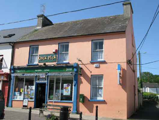 Goleen Post Officehouse · 1602 yd
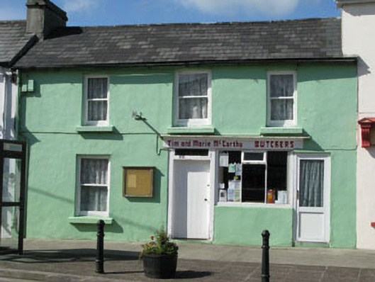 Tim and Marie McCarthy Butchershouse · 1616 yd
 KnockboyMountain / peak · 1.4 mi
 Castle (Site of)Castle, unclassified · 1.9 mi
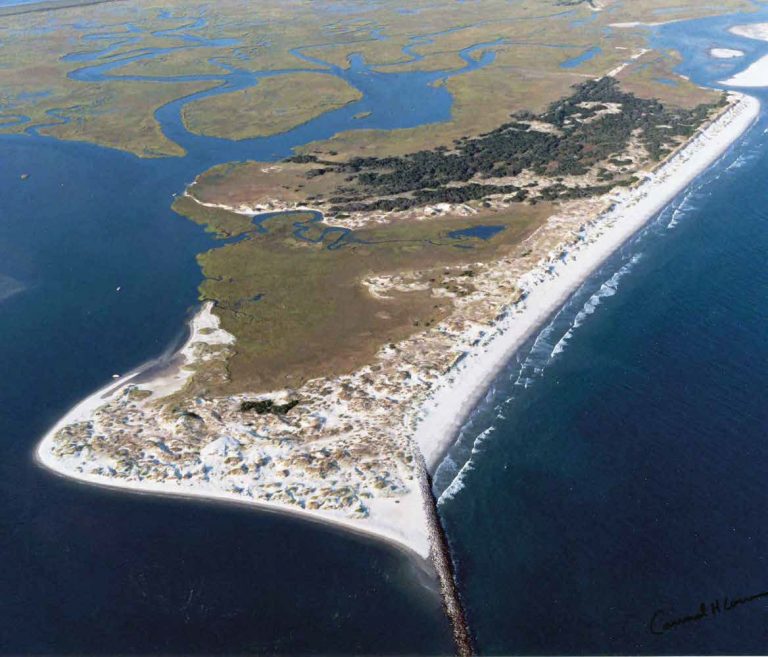 Bird IslandIslet · 2.0 mi
 Creamery PlatformMemorial · 2.4 mi
 Ballyrisode WoodWood · 2.6 mi
 Ballyrisode PointHeadland · 2.7 mi
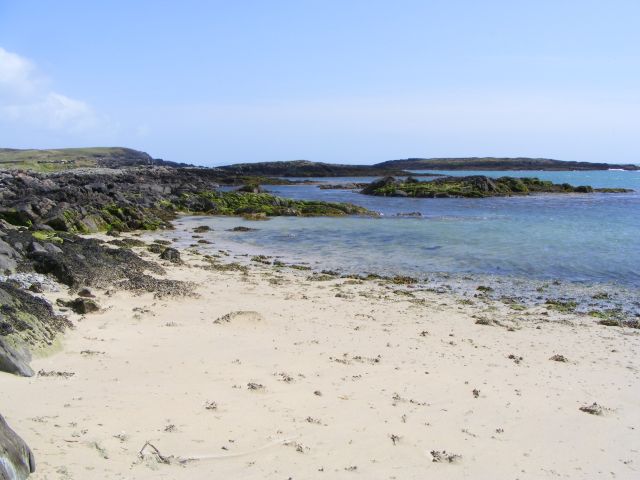 Galley Cove BeachBeach / strand · 3.0 mi
Other information
Photo: Credit not shown in the picture search · Rights wording not checked; contact us if this picture should be removed