What is recorded here
An oval raised cemetery (approx. dims. 32m N-S x 22m E-W) enclosed by a stone wall. No visible trace of a church, although the surface is very uneven.
Date of upload: 5 September 2016
A local ancient tomb; wider significance not recorded.
This remains an important historical record, but the official description says the monument is no longer visible or has been destroyed. The monument record does not grant public access. Check the route and ask the landowner before entering private land.
- What survives
- No visible remains or recorded as destroyed
Places near here
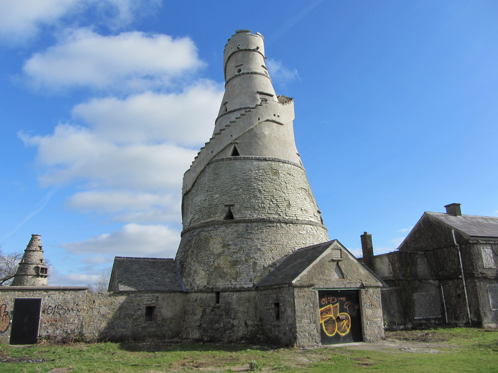 Enclosure in AnnaloughEnclosure · 918 yd
 Spratstown Fox CovertWood · 990 yd
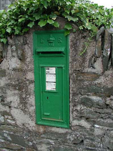 post boxpost box · 1036 yd
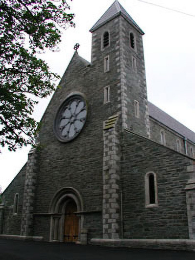 Catholic Church of Saint Mary and Saint Laurencechurch/chapel · 1053 yd
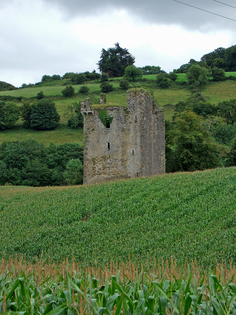 Enclosure in Crookstown LowerEnclosure · 1336 yd
 CrookanurnWood · 1529 yd
 Colbinstown Castle (in Ruins)Castle, unclassified · 1.7 mi
 Grangecon Castle (in ruins)Castle, tower house · 2.3 mi
 Burtown House and GardensHeritage attraction · 3.8 mi
 Battle of Kilrushbattle · 3.8 mi
 Ballyhook HillMountain / peak · 4.9 mi
 Gorden Bennet Race memorialMemorial · 5.0 mi