What is recorded here
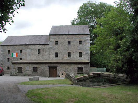
Detached three-bay three-storey rubble stone corn mill with attic, c.1840, originally with single-bay two-storey end bay to north-east and with original cast-iron waterwheel to side elevation to south-west. Extended, c.1880, comprising three-bay three-storey lower wing to left (north) incorporating original end bay. Extended, c.1880, comprising four-bay single-storey flat-roofed projecting bay along front elevation to north-west. Extensively renovated, c.1980, to accommodate residential use and use as heritage centre. Gable-ended roofs with slate. Red clay ridge tiles. Cast-iron rainwater goods. Flat-roofed to additional range along front (north-west) elevation. Replacement corrugated-fibre-glass, c.1980. Timber eaves. Replacement aluminium rainwater goods, c.1980. Random rubble stone walls. Dressed stone quoins to corners. Cut-stone plaque. Cast-iron waterwheel to side elevation to south-west. Square-headed openings. No sills. Yellow brick dressings. Replacement 6/6 timber sash windows, c.1980. Replacement timber boarded double doors, c.1980. Set back from road in own grounds. Gravel forecourt to front.Mill race, c.1840, along side elevation to south-west with cut-stone retaining walls.
Crookstown Corn Mill (former) is a fine and imposing rubble stone structure of considerable social and historical importance, representing the early industrialisation and commercialisation of the village of Ballitore. Although extensively renovated in the late twentieth century to accommodate residential use and use as a heritage centre, the building retains most of its original form, while replacement materials have been installed in keeping with the original integrity of the building. The building retains many important early or original features and materials, including the cast-iron waterwheel to south-east with attendant mill race, both of technical significance, while former mill stones are located throughout the grounds. The building is attractively set in its own grounds and, looming over the surrounding landscape, is a picturesque landmark in the locality.
- Townland
- CROOKSTOWN LOWER
- Official record
- 11822009
- Location
- Point published by the National Inventory of Architectural Heritage
Other information
Photo: National Inventory of Architectural Heritage · Website use allowed for educational or private purposes with source credit
This official record and map point do not grant access. Most recorded buildings are privately owned; view them only from public ground unless the owner allows entry.
Places near here
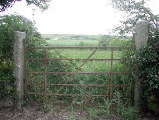 gates/railings/walls — Mill Lanegates/railings/walls · 98 yd
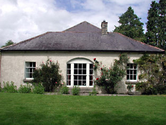 The Cottage — Mill Lanehouse · 211 yd
 Enclosure in Crookstown UpperEnclosure · 559 yd
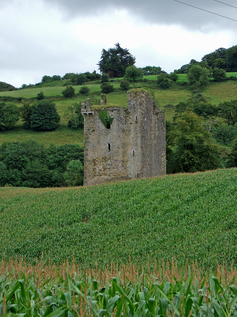 Enclosure in Crookstown LowerEnclosure · 968 yd
 CrookanurnWood · 1332 yd
 Spratstown Fox CovertWood · 1.4 mi
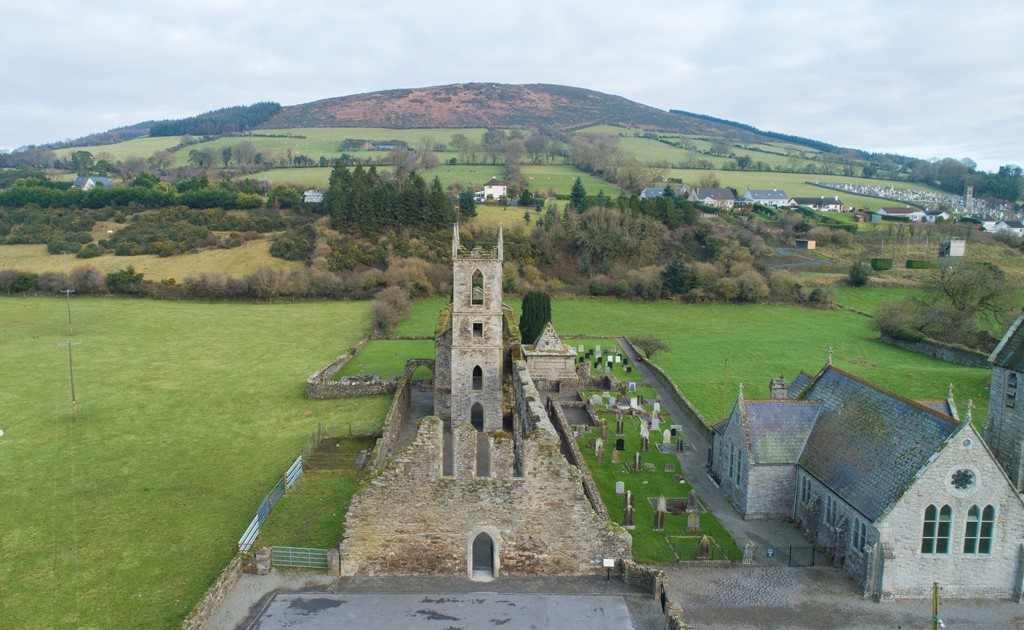 Ballycore Rath — BallycoreCastle — motte and bailey · 1.9 mi
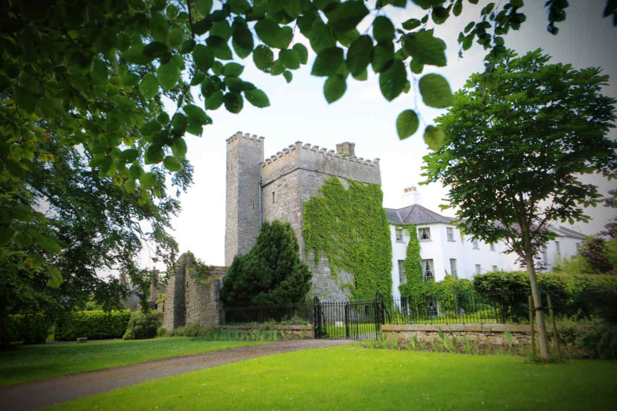 Castle — unclassified in TimolinCastle — unclassified · 1.9 mi
 Burtown House and GardensHeritage attraction · 2.6 mi
 Battle of Kilrushbattle · 3.9 mi
 Gorden Bennet Race memorialMemorial · 4.2 mi
 History of Moat of ArdscullVisitor information · 4.3 mi