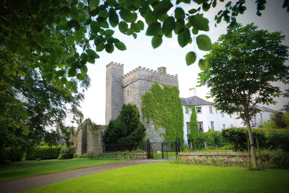
What is recorded here
FitzGerald (1903-05, 167) cites references to castle besieged and destroyed in 1641 (FitzGerald 1896-99, 418), and mentions finding of 'extensive foundations of buildings' and 'ancient thick walls with arches in them' to N of present grave yard. As OS 6-inch map locates monastery to within grave yard, these foundations may belong to castle.
Compiled by: Gearóid Conroy
The castle at Timolin was likely held by Gaelic Irish forces before being besieged and destroyed in 1641 during the early stages of the Irish Confederate Wars. It is remembered for its partial survival in the form of extensive foundations and ancient walls, indicating a significant pre-modern structure in the region.
The monument record does not grant public access. Check the route and ask the landowner before entering private land.
- What survives
- Recorded monument
Places near here
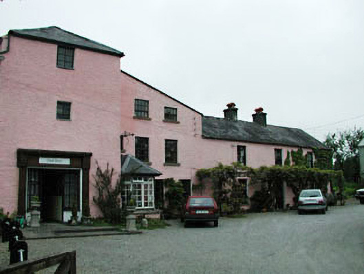 mill (water)mill (water) · 134 yd
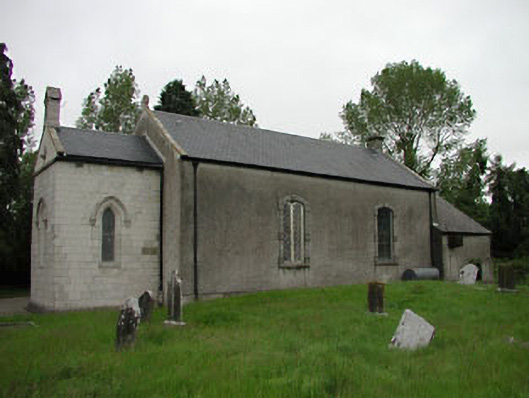 Saint Mullin's Church (Timolin)church/chapel · 149 yd
 MonasteryEcclesiastical site · 152 yd
 European LarchEuropean Larch · 886 yd
 Enclosure in MooneEnclosure · 1038 yd
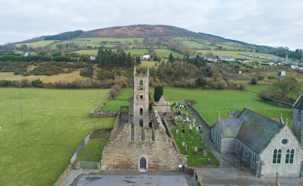 Ballycore RathCastle, motte and bailey · 1572 yd
 Moone Fox CovertForest · 1.0 mi
 Bolton CastleCastle, tower house · 2.1 mi
 Burtown House and GardensHeritage attraction · 2.7 mi
 Lorcán Ó TuathailMemorial · 4.6 mi
 Gorden Bennet Race memorialMemorial · 5.2 mi
 History of Moat of ArdscullVisitor information · 5.2 mi
Other information
Photo: Credit not shown in the picture search · Rights wording not checked; contact us if this picture should be removed