
What is recorded here
Shown on the 1909 OS 6-inch map as a circular area surrounded by a bank (max diam. c. 30m). According to SMR file (1972), 'The monument has been destroyed and the area has recently been under pasture'.
Date of upload: 5 September 2016
A local fairy fort (ringfort/rath); wider significance not recorded.
This remains an important historical record, but the official description says the monument is no longer visible or has been destroyed. The monument record does not grant public access. Check the route and ask the landowner before entering private land.
- What survives
- No visible remains or recorded as destroyed
Places near here
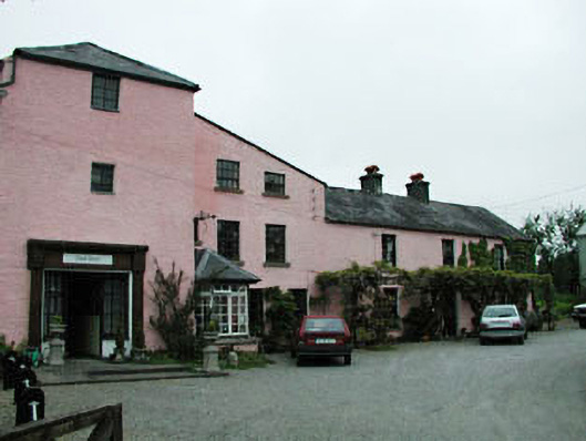 mill (water)mill (water) · 943 yd
 Church in TimolinChurch · 988 yd
 MonasteryEcclesiastical site · 1003 yd
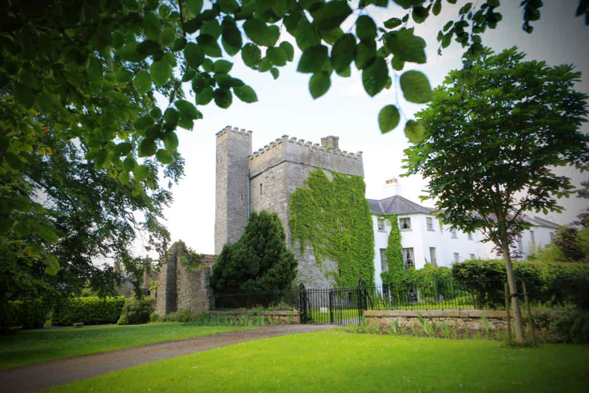 CastleCastle, unclassified · 1038 yd
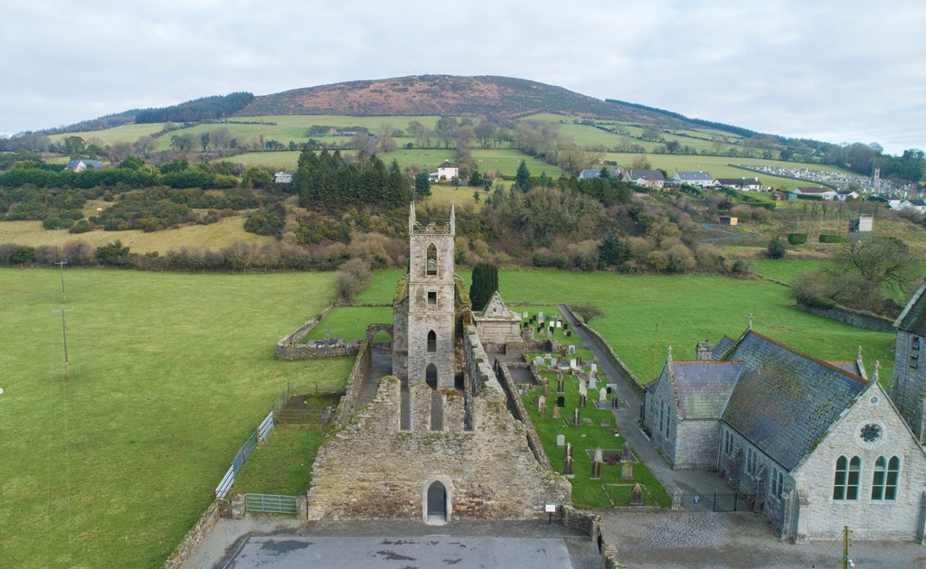 Ballycore RathCastle, motte and bailey · 1080 yd
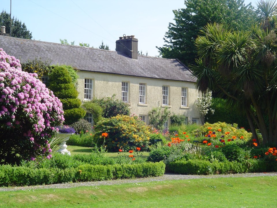 Enclosure in BallycoreEnclosure · 1344 yd
 European LarchEuropean Larch · 1394 yd
 Moone Fox CovertForest · 1.4 mi
 Burtown House and GardensHeritage attraction · 3.3 mi
 Lorcán Ó TuathailMemorial · 4.8 mi
 Castledermot Round TowerHeritage attraction · 5.3 mi
 Gorden Bennet Race memorialMemorial · 5.8 mi
Other information
Photo: Credit not shown in the picture search · Rights wording not checked; contact us if this picture should be removed