
Places near here
Photo credits
- National Inventory of Architectural Heritage
- Kmcnamee, Wikimedia Commons · CC BY-SA 4.0
- Chmee2, Wikimedia Commons · CC BY-SA 3.0
- abdallahh from Montréal, Canada, Wikimedia Commons · CC BY 2.0
- Peter Allen, Wikimedia Commons · CC BY-SA 2.0
- Dirk Huth, Wikimedia Commons · CC BY-SA 3.0
Explorer Tom Enclosure in Treanbaun is just a rectangle of dirt that got confused about its shape. It’s sitting in farmland looking…
LismoreEnclosure · 1686 ydExplorer Tom Lismore in Rathglass has a hidden message in its stones that says 'get out.' It’s rectangular, which is weird for an…
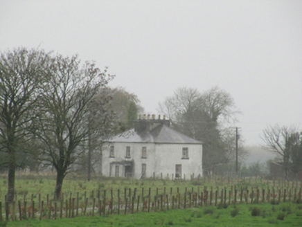 Rathglass HouseCountry house · 1.2 mi
Explorer Tom Rathglass House has so many chimney pots that it looks like it’s smoking a very thick, historic cigarette. It hears…
Site of Lisnamoltaun CastleCastle, unclassified · 1.2 miExplorer Tom Lisnamoltaun Castle is a ghost that even the map forgot for a bit. It was a proper rectangle in a D-shape, now just…
CastleCastle, unclassified · 1.3 miExplorer Tom Castle in Castlebin North has vanished so completely that locals used its stones to build a gate lodge. That is the…
 Sarsfields GAA, CastlebinGAA ground · 1.4 mi
 WoodlawnGate lodge · 1.8 mi
Explorer Tom Woodlawn is pretending to be a ruined castle on its dating profile, claiming it’s mysterious and full of tragic…
Cappataggle GAA pitchGAA ground · 2.6 mi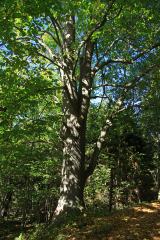 Large-leaved Lime2.6 mi
Explorer Tom Large-leaved Lime in County Galway is famous locally for a giant who tried to nap under it but fell asleep and rolled…
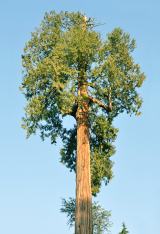 Western Redcedar3.0 mi
Explorer Tom Western Redcedar in County Galway is caught in a territorial dispute with a nearby oak over who owns the best view of…
 Kilconnell AbbeyVisitor attraction · 3.8 mi
Explorer Tom Kilconnell Abbey would take its lotto win and spend it all on a really fancy hat for one of the statues just to see if…
 Turoe StoneHeritage attraction · 4.9 mi
Explorer Tom Turoe Stone in County Galway hosted a dance party three thousand years ago where everyone went too far and forgot how…
More archaeology and monuments in County Galway · All of County Galway

What do you know about this place?Tap to add a comment or ask a question