What is recorded here
A spread of heat affected material with fire-cracked stone that may represent a cooking pit or the remains of a small burnt mound was discovered several metres to the south of the burnt mound [CO044-109----]. This feature is most probably associated with the larger burnt mound. It was exposed on the ground surface between two drains (but had not been cut by either of the drains). This feature measured c. 2.5m east-west by 1.2m north-south.
Compiled by: Melanie McQuade, Archaeologist, Forest Service.
Date of upload: 22 June 2015
The monument record does not grant public access. Check the route and ask the landowner before entering private land.
- What survives
- Recorded monument
Places near here
 Burnt mound in MountcatherineBurnt mound · 77 yd
 Abbey (Site of)Religious house, unclassified · 580 yd
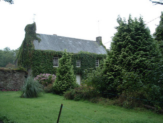 Bushy Park Househouse · 987 yd
 Castle (in Ruins)Castle, unclassified · 1.1 mi
 Scartbarry Househouse · 1.2 mi
 Graveyard in Killuntin NorthGraveyard · 2.4 mi
 Devonshire's HillMountain / peak · 2.4 mi
 Monananig WoodsWood · 3.1 mi
 Rathcormac massacremassacre · 3.2 mi
 Tower (in Ruins)Bawn · 3.4 mi
 Moanbaun ForestForest · 3.5 mi
 Graveyard in GlenvilleGraveyard · 3.7 mi
Other information
Photo: Credit not shown in the picture search · Rights wording not checked; contact us if this picture should be removed