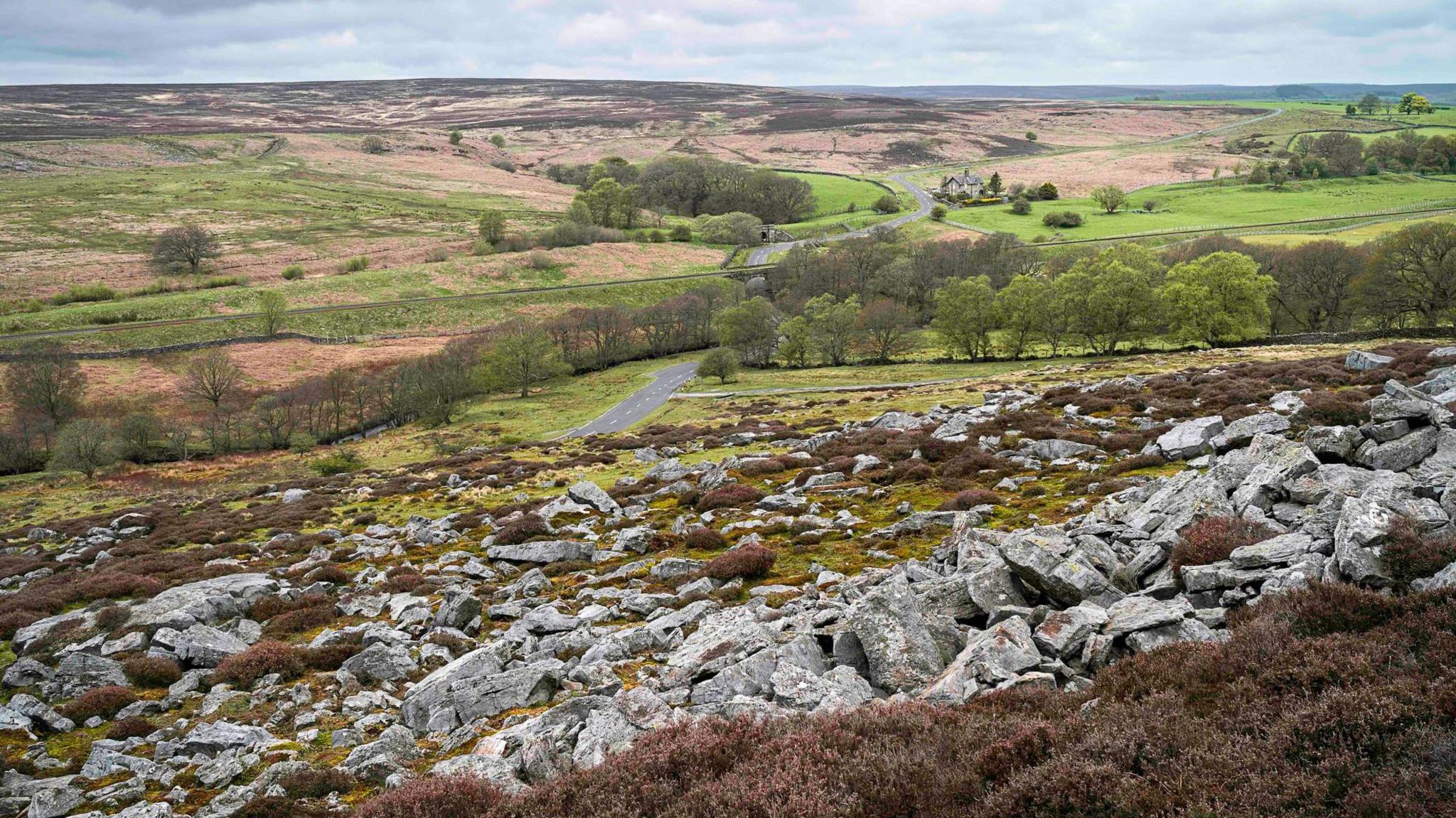
What is recorded here
This site was identified during afforestation, but did not appear to have been damaged by these works. It presented as a raised, dry area in the northeastern corner of a rush-covered field that slopes gradually to the south. Two small patches of burnt mound material were exposed immediately under the sod. These comprised charcoal-rich soil with frequent burnt/heat-affected stone typically associated with sites of this kind. The site measured 30m east-west by 25m north-south.
Compiled by: Melanie McQuade, Archaeologist, Forest Service.
Date of upload: 22 June 2015
A burnt mound; likely dates to the Bronze Age. These features are commonly associated with domestic or ritual activities, such as heat-treated stone use in cooking or ceremonial contexts.
The monument record does not grant public access. Check the route and ask the landowner before entering private land.
- What survives
- Recorded monument
Places near here
 Burnt spread in MountcatherineBurnt spread · 77 yd
 Abbey (Site of)Religious house, unclassified · 657 yd
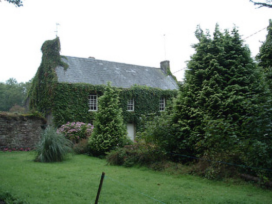 Bushy Park Househouse · 924 yd
 Castle (in Ruins)Castle, unclassified · 1.1 mi
 Scartbarry Househouse · 1.2 mi
 Graveyard in Killuntin NorthGraveyard · 2.4 mi
 Devonshire's HillMountain / peak · 2.4 mi
 Rathcormac massacremassacre · 3.2 mi
 Monananig WoodsWood · 3.2 mi
 Tower (in Ruins)Bawn · 3.4 mi
 Moanbaun ForestForest · 3.6 mi
 Graveyard in GlenvilleGraveyard · 3.7 mi
Other information
Photo: Credit not shown in the picture search · Rights wording not checked; contact us if this picture should be removed