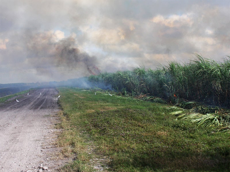
What is recorded here
In rough pasture, on a NNE-facing slope, to the SSW of the Yellow River. A spread (15m E-W; c. 9.7m N-S) of burnt material. A spring was noted in a hollow (D 1.3m) immediately N of the spread. (Castleisland District Archaeological Survey)
Compiled by: Elizabeth Byrne, Ursula Egan and Sheila Ronan, Archaeological Survey Unit, University College, Cork.
Date of upload: 31 January 2011
The monument record does not grant public access. Check the route and ask the landowner before entering private land.
- What survives
- Recorded monument
Places near here
 Quarry in Glencollins LowerQuarry · 1504 yd
 KilnKiln, lime · 1715 yd
 IndicatedEnclosure · 1.5 mi
 Fulacht fia in TooreenclassaghFulacht fia · 2.2 mi
 Barna BogForest · 3.4 mi
 Doctor's HillMountain / peak · 3.7 mi
 Nohaval WoodWood · 4.4 mi
 Mount EagleMountain / peak · 6.6 mi
 Site of Ardnagragh CastleCastle, unclassified · 6.9 mi
 Ardnacreach CastleCastle · 6.9 mi
 BarraduffMemorial · 7.9 mi
 Three CountiesPicnic place · 9.7 mi
Other information
Photo: Credit not shown in the picture search · Rights wording not checked; contact us if this picture should be removed