What is recorded here
Lisheen in County Kerry was named after a rath that occupied the eastern edge of the townland. By the 1840s people were already ploughing through it, treating the fortress like ordinary soil rather than a boundary marker. The fort may have held a family, a herdsman or a forgotten claim to the land, but its walls no longer answer questions.
In the 1840s it was noted that the townland of Lisheen derives its name from a rath called Lisheen, which was partially 'levelled and tilled', in the E end of the townland (OSNB, Nohovaldaly, 8, 84). This rath has not been precisely located.
Compiled by: Elizabeth Byrne, Ursula Egan and Sheila Ronan, Archaeological Survey Unit, University College, Cork.
Date of upload: 31 January 2011
The monument record does not grant public access. Check the route and ask the landowner before entering private land.
- What survives
- Recorded monument
Places near here
 Lisheen BridgeBridge · 1591 yd
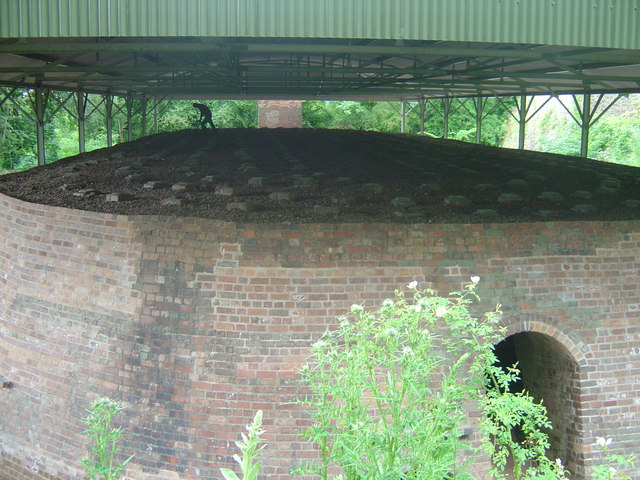 KilnKiln, lime · 1.2 mi
 Fulacht fia in Shanbally (duhallow By.)Fulacht fia · 1.7 mi
 Knocknagree FortFairy fort / earthen ringfort · 1.8 mi
 Nohaval WoodWood · 2.7 mi
 Barna BogForest · 3.4 mi
 Doctor's HillMountain / peak · 5.6 mi
 BarraduffMemorial · 6.1 mi
 SlievebrickanMountain / peak · 7.4 mi
 Site of Ardnagragh CastleCastle, unclassified · 8.1 mi
 Ardnacreach CastleCastle · 8.1 mi
 Mass RockNamed rock · 10 mi