What is recorded here
Lackanastooka holds a broken earthen ring above the Blackwater, its shallow ditch and low bank still marking a circular home. The southeast gap faces the valley, while an oval mound lies dormant inside the pasture. People may have lived there before the land forgot their names, but the river and rain have erased most of the proof.
In pasture, on W-facing slope, overlooking River Blackwater. Circular area (42m E-W; 40m N-S) enclosed by earthen bank (int. H 1.1m; ext. H 1m); shallow external fosse. Entrance (Wth 3.8m) to SE. Low, oval mound in interior (16m N-S; 12m E-W; H 0.4m).
The above description is derived from the published 'Archaeological Inventory of County Cork. Volume 4: North Cork' (Dublin: Stationery Office, 2000). In certain instances the entries have been revised and updated in the light of recent research.
Date of upload/revision: 14 January 2009
A fairy fort / earthen ringfort in Lackanastooka is a circular early-medieval defensive or domestic site, likely dating to the 5th–10th centuries AD, characterized by an earthen bank and fosse. Local tradition associates such sites with fairy folk or ancient pagan rituals, and the name "Fairy fort" reflects enduring folklore surrounding these enigmatic monuments.
The monument record does not grant public access. Check the route and ask the landowner before entering private land.
- What survives
- Recorded monument
Places near here
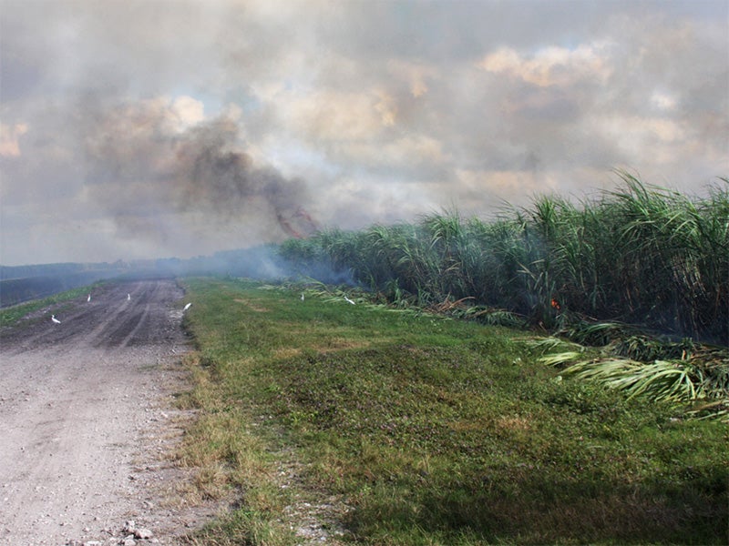 Burnt spread in CarhoonoeBurnt spread · 686 yd
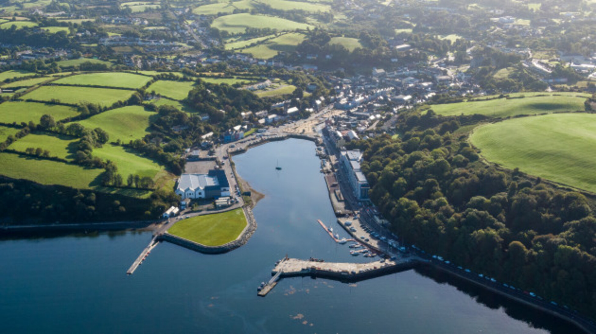 Quarry in Glencollins LowerQuarry · 1112 yd
 KilnKiln, lime · 1724 yd
 IndicatedEnclosure · 1.3 mi
 Doctor's HillMountain / peak · 3.7 mi
 Barna BogForest · 3.8 mi
 Nohaval WoodWood · 4.5 mi
 Mount EagleMountain / peak · 6.7 mi
 Site of Ardnagragh CastleCastle, unclassified · 7.1 mi
 Ardnacreach CastleCastle · 7.1 mi
 BarraduffMemorial · 8.2 mi
 Three CountiesPicnic place · 9.5 mi