What is recorded here
Situated on a SW-facings slope with a canalised SE-NW stream c. 80m to the SW. Topsoil stripping (02E0194) in advance of a gas pipeline identified patches of burnt mound material (BGE: 1A/32/1) but it was too ephemeral to excavate. (Tobin 2003)
Compiled by: Michael Moore
Date of upload: 8 March, 2018
Burnt mound in Rathmolyon is a Bronze Age ritual or industrial site, characterised by the presence of heat-shattered stones and associated with water management or ceremonial practices. Its significance lies in providing evidence of early land use and technological practices in an otherwise poorly documented region.
The monument record does not grant public access. Check the route and ask the landowner before entering private land.
- What survives
- Recorded monument
Places near here
 IndicatedFairy fort / earthen ringfort · 720 yd
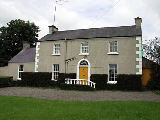 The Villafarm house · 802 yd
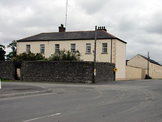 Rathmolyon Househouse · 825 yd
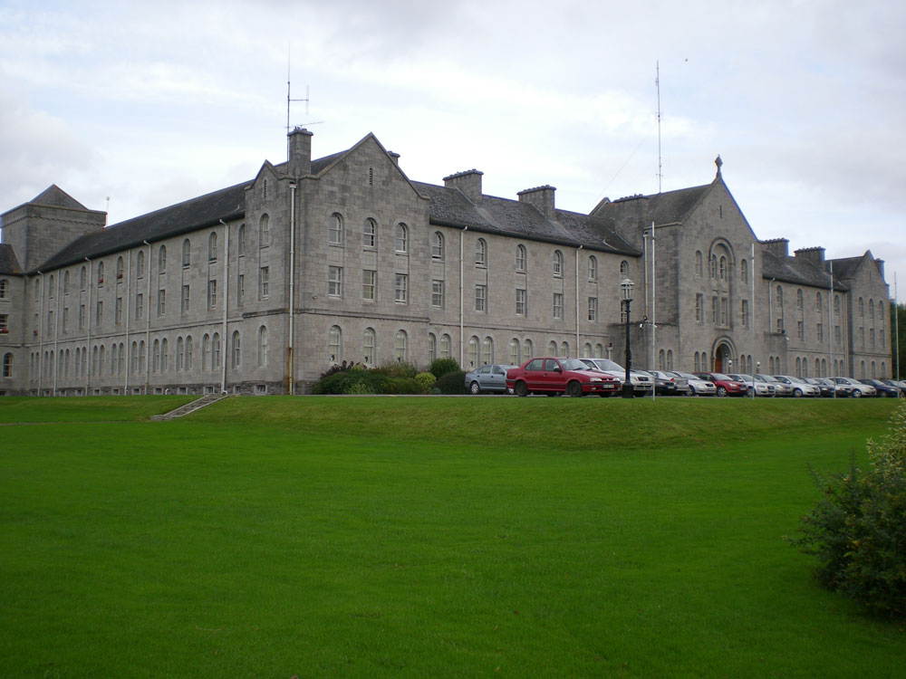 Concentric enclosure in DanganConcentric enclosure · 1.4 mi
 CastleCastle, unclassified · 1.5 mi
 Wych ElmWych Elm · 1.5 mi
 Dangan CastleCastle, tower house · 1.9 mi
 Saints IslandForest · 2.2 mi
 Old Bog Road made famous by Teresa Bryton 1868-1943Memorial · 5.2 mi
 Kilgar GardensHeritage attraction · 5.7 mi
 Mass was there in Penal TimesMemorial · 9.0 mi
 Croppies' GraveMemorial · 9.2 mi