What is recorded here
In pasture, in a sheltered depression enclosed by rising ground. There is a spring, now incorporated into field drain, adjacent to SW.
This possible burnt mound is visible in section at the base of a N-facing slope. It is evident as a thin layer (L 1.5-2m) of dark soil containing charcoal and moderate quantities of stone that appears to be heat-shattered. The exact limits of the layer are uncertain.
Compiled by: Jane O’Shaughnessy
Date of upload: 8 May 2019
A possible burnt mound, likely dating to the Neolithic or Bronze Age, representing a site of domestic or ritual activity involving heat treatment of stones. Its location near a spring suggests it may have had a functional or symbolic relationship with water.
The monument record does not grant public access. Check the route and ask the landowner before entering private land.
- What survives
- Recorded monument
Places near here
 Crockbullock FortArchaeological place · 297 yd
 IndicatedFairy fort / earthen ringfort · 383 yd
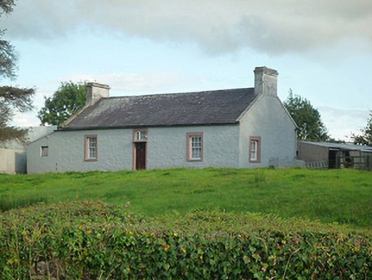 farm housefarm house · 1447 yd
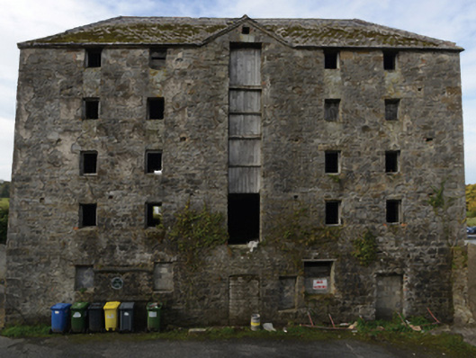 store/warehousestore/warehouse · 1696 yd
 Battle of Killalabattle · 1726 yd
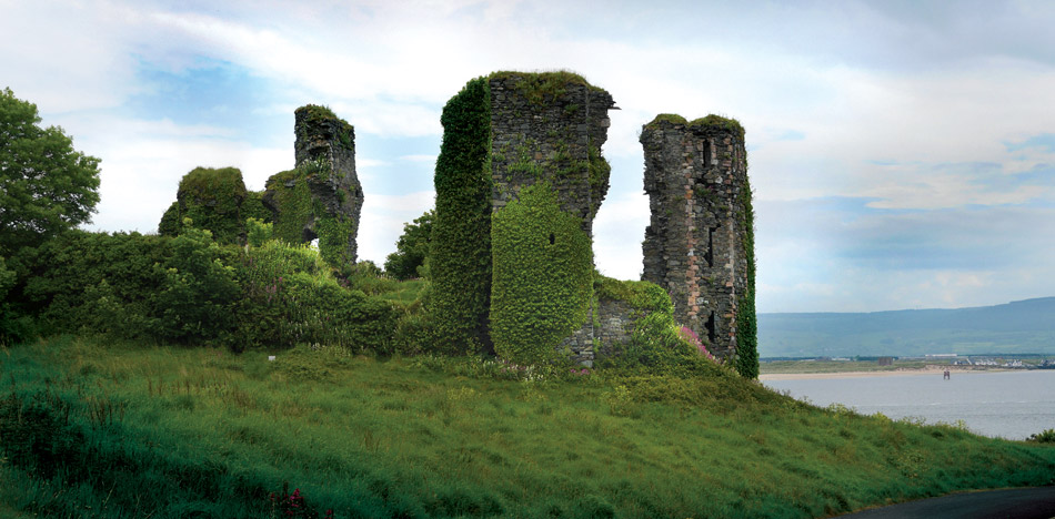
 CastleCastle, unclassified · 1.0 mi
 Castle (in Ruins)Castle, tower house · 1.3 mi
 Green IslandIslet · 1.4 mi
 Rinnaun PointHeadland · 1.8 mi
 Battlefields of MoyneBattlefield · 2.3 mi
 Moyne AbbeyHeritage attraction · 2.9 mi
 Bartragh IslandIsland · 3.1 mi