What is recorded here
On a gentle W-facing slope in rough pasture, N of Tipperary Town, NW of the junction of the Rossana and Carrownreddy roads (Dehaene 2007, unpublished archaeological testing report, 4-5). The testing was undertaken in November and December 2007 on behalf of South Tipperary County Council, in advance of developing the site (Excavation Licence number 07E1044). Dehaene (ibid.) describes a burnt spread which, 'comprised a deposit of heat-shattered limestones and sandstones and charred material. These stones were well sorted, and mostly comprised stones measuring 0.05m by 0.05m by 0.05m. The burnt spread material extended over 7.5m (north/south) with blackened clay to the north and the south. The burnt spread material was situated on a localised raised clay bank. The feature has been interpreted as the remains of a burnt mound or fulacht fiadh site'.
Compiled by: Jean Farrelly
Date of upload: 8 January 2018
Burnt mound in Carrownreddy is a Bronze Age ritual or industrial site, characterized by the presence of heat-shattered stones and associated features. Its significance lies in providing evidence of early land use and possible ceremonial activity in the region.
The monument record does not grant public access. Check the route and ask the landowner before entering private land.
- What survives
- Recorded monument
Places near here
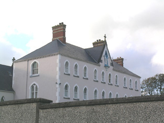 Rosanna Convent of Mercyconvent/nunnery · 175 yd
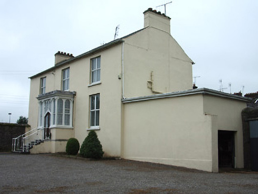 The Presbyteryhouse · 256 yd
 MoatCastle, motte and bailey · 599 yd
 It's a long way to TippereryHeritage attraction · 691 yd
 IndicatedHoly well · 737 yd
 Mutton Pie HillCastle, motte · 873 yd
 The Maid of ErinMemorial · 882 yd
 Site of AbbeyReligious house, Augustinian friars · 933 yd
 I.R.A. 3rd. Tipperary Brigade MemorialMemorial · 1086 yd
 European ashEuropean ash · 2.5 mi
 The RockViewpoint · 2.9 mi
 Christ the KingViewpoint · 3.5 mi