
What is recorded here
This monument was subject to geophysical survey (Licence no. 08R117) and test excavation (Licence no. 09E0479) as part of the proposed Metro North development. An oval-shaped (5m x 7.5m N-S) deposit of dark-black sandy silt with frequent inclusions of heat-shattered burnt stones was identified. A possible ditch or field boundary (1.85m wide) was identified to the W of the burnt spread and a possible slot-trench (0.2m wide) was identified 1m to the E. It measured 0.2m in width and was filled by black silty charcoal-stained clay (Hession 2009, 20).
Compiled by: Christine Baker
Date of upload: 6 February 2015
Burnt mound in Ballymun is a Bronze Age ritual or industrial site, dated to approximately 2000–800 BCE. Its significance lies in providing evidence of prehistoric land use and thermal activity, possibly linked to ceremonial practices or craft production.
The monument record does not grant public access. Check the route and ask the landowner before entering private land.
- What survives
- Recorded monument
Places near here
 The MoundViewpoint · 705 yd
 Cremation pit in BallystruanCremation pit · 714 yd
 Enclosure in BallystruanEnclosure · 820 yd
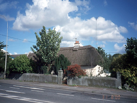 Dardistown Househouse · 1632 yd
 BallymunVisitor information · 1.0 mi
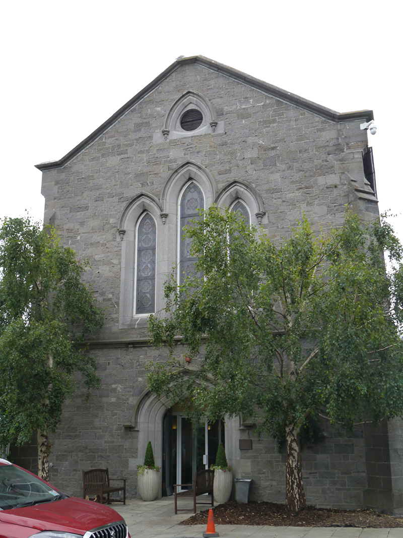 St. Pappin's Silver Streamchurch/chapel · 1.1 mi
 Corballis Castle (site of)Castle, unclassified · 1.2 mi
 Castle (site of)Castle, unclassified · 1.4 mi
 Graveyard in Unknown TownlandGraveyard · 1.4 mi
 ChryslerMemorial · 1.8 mi
 Killing of David Byrnemurder · 2.7 mi
 BaldcypressBaldcypress · 2.8 mi
Other information
Photo: Credit not shown in the picture search · Rights wording not checked; contact us if this picture should be removed