What is recorded here
Situated on a slight rise in a low-lying, level landscape, with the original shore of Ballyteige Lough that was known as Mablen Haven in the 17th century (Simington 1953, 125, 149), c. 250m to the S. There is a wicker-centered burial vault (int. dims 2.25m E-W; 1.46m N-S; H 1m plus) with an open passage (L 1m plus) extending S beneath the relieving arch in the S nave wall of Killag parish church (WX051-003001-).
Compiled by: Michael Moore
Date of upload; 14 July, 2017
The monument record does not grant public access. Check the route and ask the landowner before entering private land.
- What survives
- Recorded monument
Places near here
 Church (in ruins)Church · 3 yd
 Fulacht fia in RichfieldFulacht fia · 1055 yd
 bridgebridge · 1175 yd
 CastleCastle, unclassified · 1299 yd
 Not idicatedFulacht fia · 1318 yd
 Cull IslandIsland · 1.8 mi
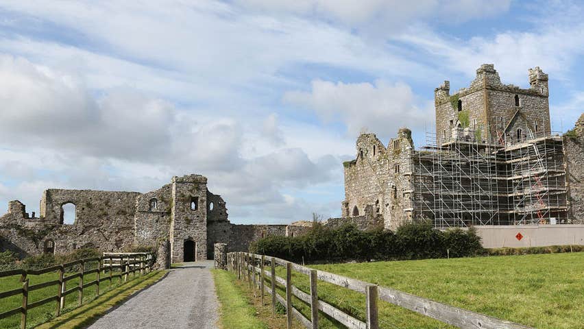 Castle (Site of)Castle, unclassified · 1.9 mi
 Ivan Sutton Art ExhibitionGallery · 2.1 mi
 Memorial Trail & Garden in Honour of Those Lost at SeaMemorial · 2.1 mi
 Whale boneHeritage attraction · 2.1 mi
 Kilmore Quay - Crehen Twinning MemorialMemorial · 2.1 mi
 Kilmore Quay Walking TrailVisitor information · 2.2 mi