What is recorded here
In pasture, 61m E of townland boundary with Kilfinnane. A possible standing stone (LI048-120----) lies 170m to W and a barrow (LI048-060----) 75m to SW. Not marked on the 1840 ed. OSi 6-inch map or the 1897 OSi 25-inch map. Depicted on the Cassini ed. OSi 6-inch map as a small sub-circular shaped mound (dims. c. 12m NW-SE; 6m NE-SW). Monument visible as a circular-shaped earthwork in an area of extensive quarrying on Digital Globe orthoimage taken between 2011-13 and on Google Earth orthoimage dated 19/03/2015. See attached Google Earth orthoimages.
In pasture, 61m E of townland boundary with Kilfinnane. A possible standing stone (LI048-120----) lies 170m to W and a barrow (LI048-060----) 75m to SW. Not marked on the 1840 ed. OSi 6-inch map or the 1897 OSi 25-inch map. Depicted on the Cassini ed. OSi 6-inch map as a small sub-circular shaped mound (dims. c. 12m NW-SE; 6m NE-SW). Monument visible as a circular-shaped earthwork in an area of extensive…
From the National Monuments Service (Archaeological Survey of Ireland) record LI048-060
The monument record does not grant public access. Check the route and ask the landowner before entering private land.
- What survives
- Recorded monument
Places near here
Photo credits
- National Inventory of Architectural Heritage
- Colin Park, Geograph · CC BY-SA 2.0
- Mygodfrey at en.wikipedia, Wikimedia Commons · CC BY-SA 3.0
- Mike Searle, Wikimedia Commons · CC BY-SA 2.0
- Hywel Williams, Geograph · Creative Commons Attribution-ShareAlike 2.0
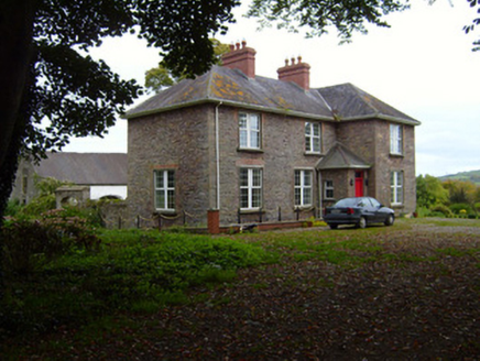 Kilfinnane RectoryRectory/glebe/vicarage/curate's house · 442 yd
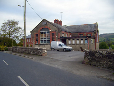 Kilfinnane Boys National SchoolSchool · 565 ydBallyhoura tourist informationVisitor information · 1056 ydPalatine's RockNamed rock · 1603 ydBallyhoura WayWalking route · 1.2 miBallinvreena LoopVisitor information · 2.0 mi
 SlievereaghMountain / peak · 2.5 mi
.jpg/250px-Castle_Oliver_(1).jpg "Photo: Mygodfrey at en.wikipedia, Wikimedia Commons · CC BY-SA 3.0") Castle OliverCastle · 2.8 mi
Castle OliverCastle · 2.8 mi Castle OliverCastle · 2.8 mi
 Grave YardGraveyard · 3.8 mi
 Seefin Mountain East TopMountain / peak · 4.2 mi
 Ladys WellHoly well · 4.9 mi
More archaeology and monuments in County Limerick · All of County Limerick
What do you know about this place?