
What is recorded here
Map note: Find the recorded point for Burial in Killard, a burial around Killard, County Westmeath, Ireland. See what else is recorded around this spot before making up the rest.
There is no SMR file in the archive for WM032-097----.
From the National Monuments Service (Archaeological Survey of Ireland) record WM032-091
Places near here
Photo credits
- National Inventory of Architectural Heritage
- kevin higgins, Wikimedia Commons · CC BY-SA 2.0
- Mike Searle, Geograph · CC BY-SA 2.0
- Willow, Wikimedia Commons · CC BY 2.5
- JP, Geograph · CC BY-SA 2.0
- Kieran Campbell, Geograph · Creative Commons Attribution-ShareAlike 2.0
- Kieran Campbell, Wikimedia Commons · CC BY-SA 2.0
- Algirdas at Lithuanian Wikipedia, Wikimedia Commons · Public domain
- A.-K. D., Wikimedia Commons · CC BY-SA 4.0
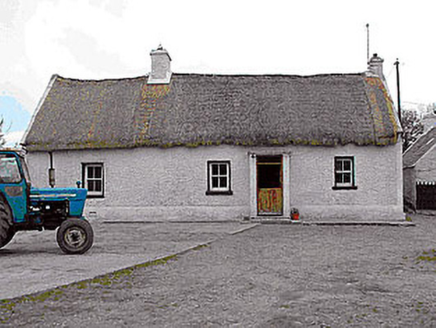 farm house1.1 mi
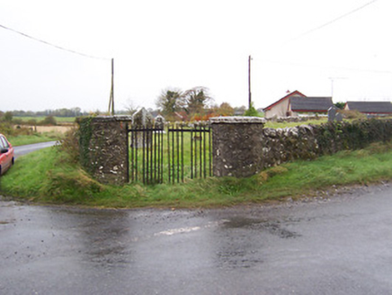 Balrath GraveyardGates/railings/walls · 1.2 mi
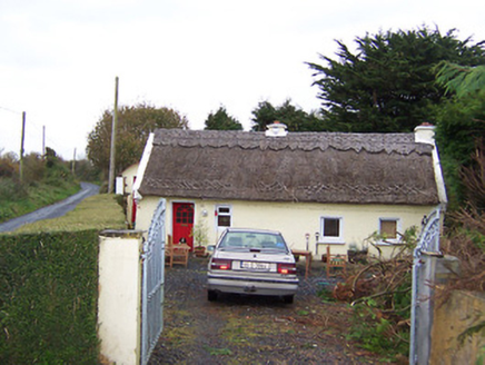 The ThatchHouse · 1.7 mi
 Coola BridgeBridge · 1.9 mi
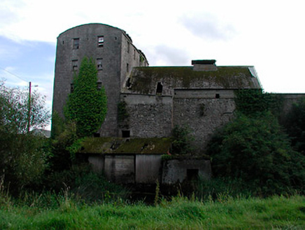 kiln1.9 mi
 Laragh CastleCastle · 4.1 mi
 European ash6.4 mi
Explorer Tom Another European ash in County Offaly has rabbits who think it’s their personal umbrella and shelter. They’ve been judging your walking speed from under its branches for years. Have a wander and a wonder about how much bark they’ve actually chewed.
 Grand Canal WayWalking route · 8.6 mi
 Graveyard8.7 mi
Explorer Tom Graveyard in Kilbride is locked in a feud with the view over who gets to be photographed first. St Brigid’s well is right there too, so you can drink history and argue about aesthetics simultaneously without breaking a sweat. Hang around long enough and you'll hear a story from a local.
 Ballycowan CastleCastle · 8.9 mi
 Pedunculate Oak9.2 mi
 AbbeyHermitage · 12 mi
More archaeology and monuments in County Westmeath · All of County Westmeath

What do you know about this place?Tap to add a comment or ask a question