What is recorded here
From the National Monuments Service (Archaeological Survey of Ireland) record CO085-056
Places near here
Photo credits
- National Inventory of Architectural Heritage
- Maker not stated on source page, www.dreamstime.com
- Maker not stated on source page, tr.pinterest.com
- Hywel Williams, Geograph · CC BY-SA 2.0
- Maker not stated on source page, www.youtube.com
- Neville Goodman, Wikimedia Commons · CC BY-SA 2.0
- Maker not stated on source page, www.yaycork.ie
- The Carrigdhoun (source; individual photographer not named), www.carrigdhoun.com
- Maker not stated on source page, 2pos.irish
- Maker not stated on source page, www.cork-guide.ie
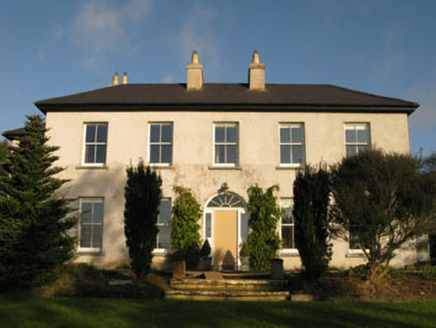 Belrose HouseCountry house · 127 yd
Explorer Tom Belrose House is a country gentleman who still thinks he runs the place. Its windows are perfectly symmetrical because…
 Fairy fort / earthen ringfort in Kill (muskerry East By.)Fairy fort / earthen ringfort · 421 yd
Explorer Tom Fairy fort / earthen ringfort in Kill is marked by different vegetation colours, which is nature's way of saying 'look…
 Knockavilly Church (in Ruins)Church · 913 yd
Explorer Tom Knockavilly Church in Kill is secretly proud of one specific potato that grew through its cracked foundation last…
 Grave YardGraveyard · 917 yd
Explorer Tom Graveyard in Kill has high stone walls and headstones from 1795, plus some rounds paid at a specific grave. It’s atop a…
 Fairy fort / earthen ringfort in BallyhandleFairy fort / earthen ringfort · 1387 yd
Explorer Tom Ballyhandle has a proper circular fort with a 4-metre entrance and a gap on the east. The bank is still standing…
 Garranewaterig SchoolSchool · 1446 yd
Explorer Tom Garranewaterig School was built in 1956 and looks like a typical Irish Free State national school. It retains those…
 Sunday WellSpring · 1.5 mi
Explorer Tom This Sunday Well has a ghost that’s too lazy to haunt it properly; he just sits there looking bored and judging your…
 SunnysideHouse · 1.5 mi
Explorer Tom Sunnyside in Lissagroom sits on a steep rise, looking down on fields since 1930. It’s got those lovely tripartite…
 Castle (Site of)Castle, unclassified · 1.8 mi
Explorer Tom Castle in Tuocusheen has a square level area with battered walls, one of which is planted with trees. It's a castle of…
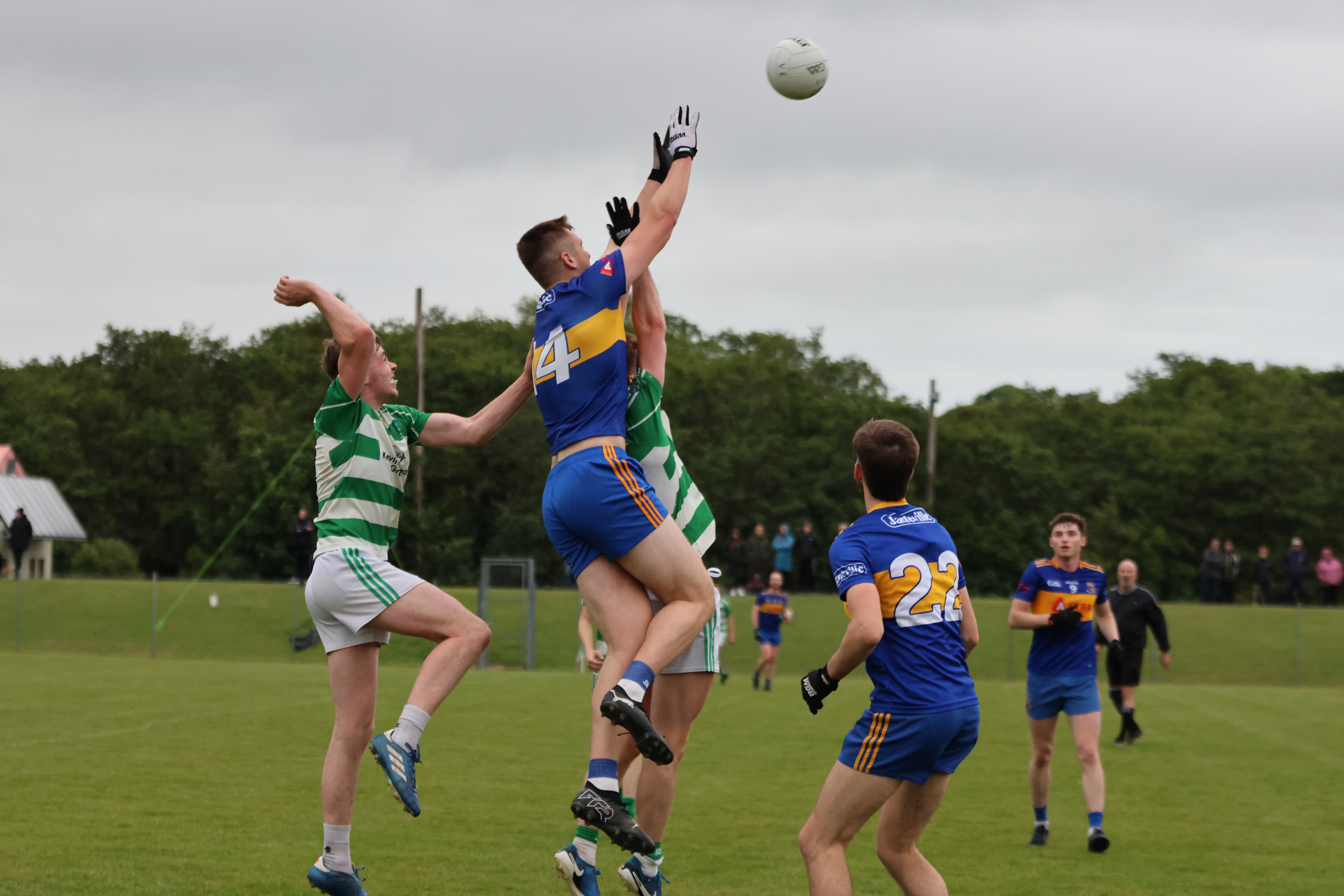 Valley Rovers GAA pitchGAA ground · 2.7 mi
 Éire Óg GAA pitchGAA ground · 3.7 mi
 Cor CastleCastle · 3.9 mi
Explorer Tom Cor Castle in County Cork is probably playing hard to get because it knows it looks great from a distance. It might be…
More archaeology and monuments in County Cork · All of County Cork

What do you know about this place?Tap to add a comment or ask a question