
What is recorded here
From the National Monuments Service (Archaeological Survey of Ireland) record TS068-124
Places near here
Photo credits
- Maker not stated on source page, www.pinterest.com
- National Inventory of Architectural Heritage
- Peter Wood, Geograph · CC BY-SA 2.0
- Maker not stated on source page, en.wikipedia.org
- Maker not stated on source page, www.alamy.com
- Maker not stated on source page, www.irelandtravelkit.com
- Maker not stated on source page, fi.pinterest.com
- kevin higgins, Geograph · CC BY-SA 2.0
 CastleCastle, unclassified · 1 yd
Explorer Tom Castle in Ballycarron would use its lotto win to buy a really nice hat and then immediately lose it to the wind by the…
 Cuan MhuireGates/railings/walls · 862 yd
Explorer Tom Cuan Mhuire in Ballycarron is getting absolutely roasted by the seagulls who keep landing on those ornate Gibbsian…
 New BridgeBridge · 1.0 mi
Explorer Tom New Bridge in Ballyslatteen has a humpback and an ego to match the heavy walls holding it up. It would be the life of…
 Catholic Church of Our Lady of the AssumptionChurch/chapel · 1.5 mi
Explorer Tom Our Lady of the Assumption church in Kilmoyler is all about Gothic drama and sharp edges. If it won the lotto, it'd buy…
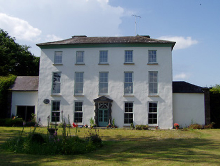 Kilmoyler HouseCountry house · 1.8 mi
Explorer Tom Kilmoyler House is showing off its diminishing windows like it’s trying to look tall on a date. It’s got sandstone…
 Cappa New BridgeBridge · 2.0 mi
Explorer Tom Cappa New Bridge in Cappauniac has a hidden message carved into its concrete stones if you look hard enough. I think it…
 Earthwork in Thomastown Demesne SouthEarthwork · 2.1 mi
Explorer Tom Earthwork in Thomastown Demesne South is a low wedge that the weather has been grudging at for centuries. It's barely…
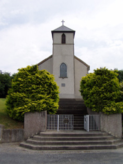 Saint Bartholomew's Catholic ChurchChurch/chapel · 2.5 mi
Explorer Tom Saint Bartholomew's Church in Knockgraffon stands on a hill, which confused a group of Vikings completely. They thought…
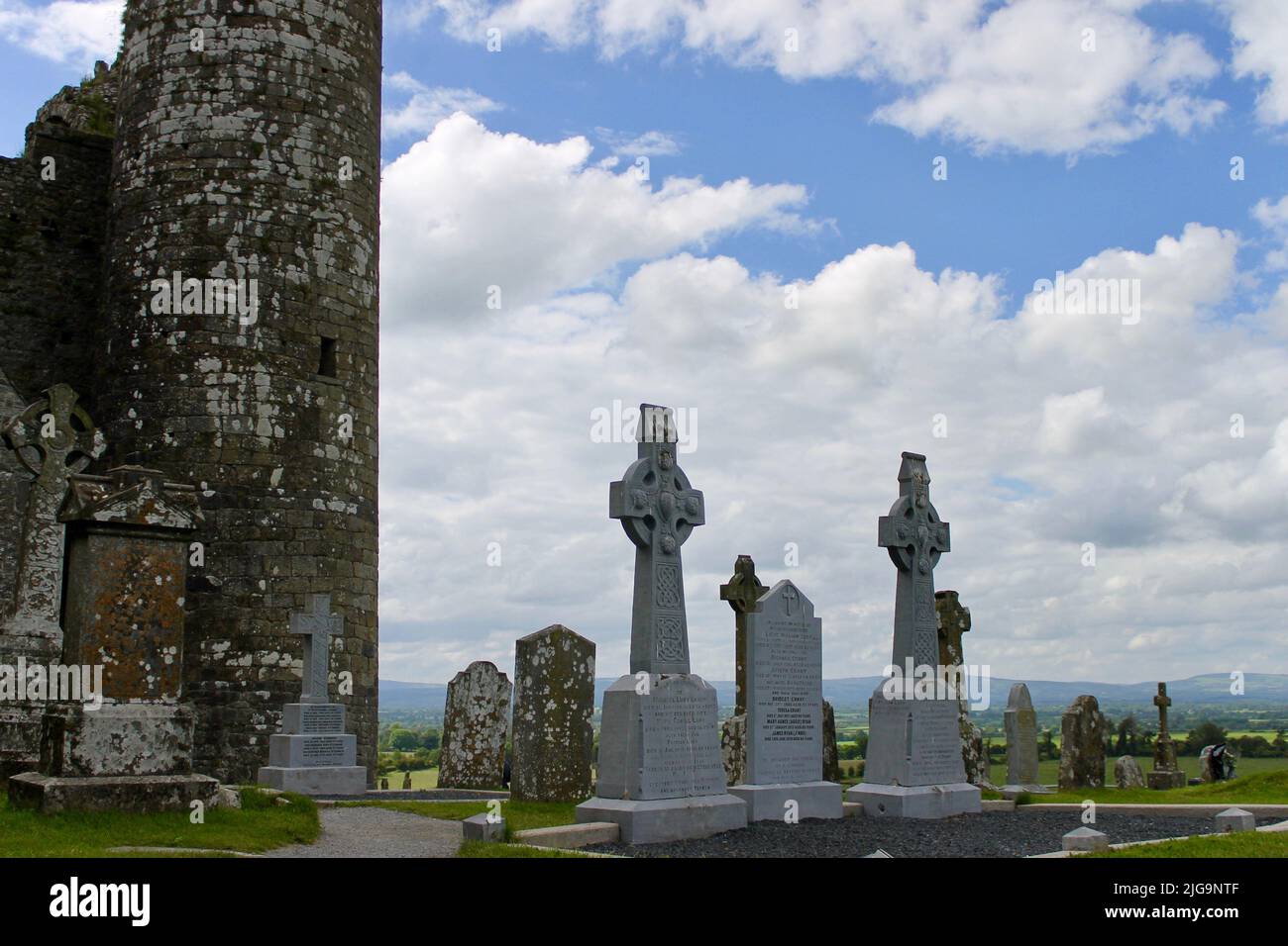 Bansha CemeteryGraveyard · 3.2 mi
Explorer Tom Bansha Cemetery in County Tipperary is currently in a fairy dispute over parking rights, with the little guys claiming…
 Saint Berrihert's Holy WellWayside shrine · 4.5 mi
Explorer Tom Saint Berrihert's Holy Well in County Tipperary has had so many name changes that even the locals have given up keeping…
 Site of CastleCastle, unclassified · 4.5 mi
Explorer Tom Site of Castle in Knockacurra isn’t visible at ground level, which is convenient for anyone claiming they invented it…
 FarbreagaMountain / peak · 6.7 mi
Explorer Tom Farbreaga sits on the eastern Galtee ridge in County Tipperary, a 724 metre summit that asks you to earn the view…
More archaeology and monuments in County Tipperary · All of County Tipperary

What do you know about this place?Tap to add a comment or ask a question