
What is recorded here
The Ordnance Survey Letters of 1838 recorded that the 'tradition in the place is that St. Colman [of Doire Mór] founded a monastery here, from whom the Parochial name Kilcolman (ecclesia S. Colmani) is formed' (O' Flanagan 1933, vol. 2, 31). However this tradition appears to be incorrect as the church of Doire/Daire…
Read the whole record
From the National Monuments Service (Archaeological Survey of Ireland) record OF038-007004
Places near here
Photo credits
- Maker not stated on source page, www.irelandhighlights.com
- Maker not stated on source page, en.m.wikipedia.org
- National Inventory of Architectural Heritage
- Maker not stated on source page, archaeology.org
- Maker not stated on source page, www.youtube.com
- Maker not stated on source page, www.geograph.ie
- Maker not stated on source page, pixels.com
- Kmcnamee, Wikimedia Commons · CC BY-SA 4.0
 Bullaun stone in KilcolmanBullaun stone · 54 yd
Explorer Tom Bullaun stone in Kilcolman in County Offaly is stuck next to a stream and a saint. I bet it’s secretly dating the holy…
 Enclosure in Rath MoreEnclosure · 1019 yd
Explorer Tom Enclosure in Rath More is a potential site that vanished so completely you’d need a microscope and a strong drink to…
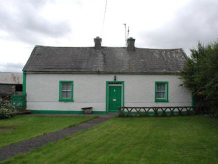 Lisduff CottageHouse · 1315 yd
Explorer Tom Lisduff Cottage in Lisduff is a small vernacular house that’s surviving against the odds of big houses everywhere else.…
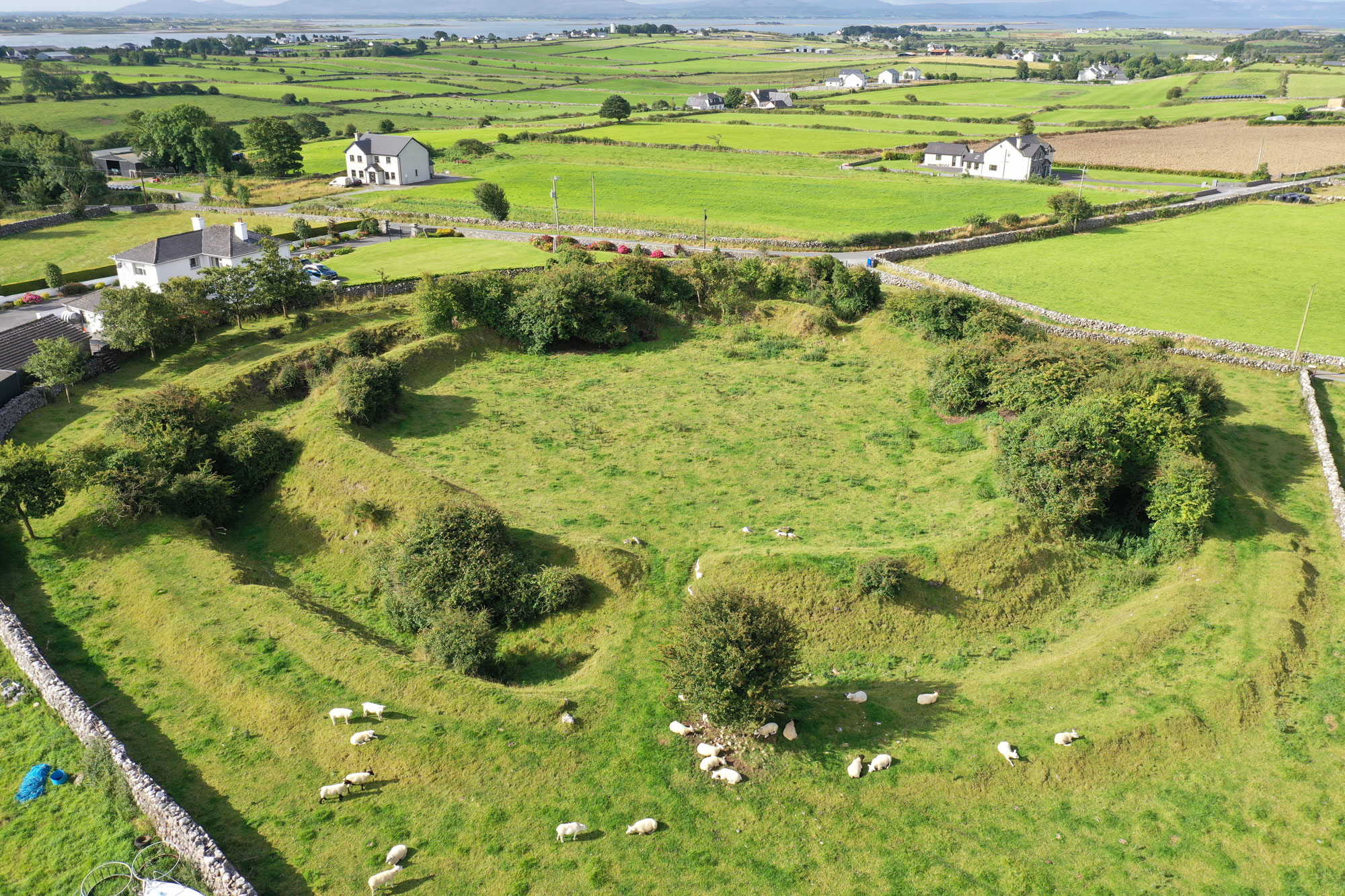 Fairy fort / ringfort in Ballygaddy (clonlisk By.)Fairy fort / ringfort · 1.0 mi
Explorer Tom Fairy fort / ringfort in Ballygaddy has a long-standing grudge against the weather because it keeps destroying its nice…
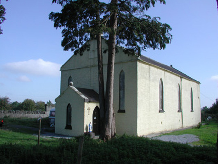 Saint Colman's Church (Kilcolman)Church/chapel · 1.2 mi
Explorer Tom Saint Colman's Church (Kilcolman) is locked in a feud with the hill next door over who has the better view. It's got…
 Rathmore CastleRuins · 1.3 mi
Explorer Tom Rathmore Castle in County Offaly holds a fake world record for being the most ignored ruin on the map. It’s been…
 Rathmore Castle (in Ruins)Bawn · 1.3 mi
Explorer Tom Rathmore Castle, County Offaly, got into a fight with a fairy over parking rights last week. It’s a bawn that thinks…
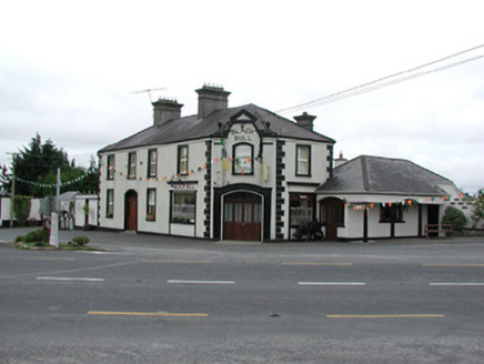 Black BullHouse · 1.4 mi
Explorer Tom Black Bull in Rath Beg is telling teenagers that the 1800s were basically just everyone wearing wigs and complaining…
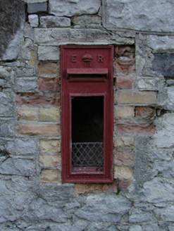 post box1.4 mi
Explorer Tom This Post box in Ballyegan is run by a dog named Edward who takes his job seriously. It’s not even used anymore, but…
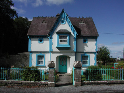 BallyeighanGate lodge · 1.4 mi
Explorer Tom Ballyeighan gate lodge looks like a Hansel-and-Gretel affair that got lost on the way to being classy. It’s Tudor…
 Fairy fort / ringfort in CreeFairy fort / ringfort · 1.5 mi
Explorer Tom Fairy fort / ringfort in Cree is only visible from the air, which means you need wings or a drone to see its charm. A…
 Crinkle GAA pitchGAA ground · 2.1 mi
More archaeology and monuments in County Offaly · All of County Offaly

What do you know about this place?Tap to add a comment or ask a question