DDiscover AloneMapAbout

Burial Ground in Kenmare Old

Graveyard
Computer-made picture that does not show Burial Ground in Kenmare OldNot a photo of this monument
Computer-made picture. It does not show this monument. · Report the wrong picture

The monument record does not grant public access. Check the route and ask the landowner before entering private land.

What do you know about this place?Tap to add a comment or ask a question

What you write will be public.

What is recorded here

In pasture, on a NNE-facing slope on the S shore of Kenmare Bay. A subrectangular area (c. 230m E-W; c. 100m N-S) with the entrance near the SW corner. The ruin of a church (KE093-035001-) stands in the NE corner. The graveyard is still in use with recent burials occurring mostly in the W section. Late 18th-century…

Read the whole record
In pasture, on a NNE-facing slope on the S shore of Kenmare Bay. A subrectangular area (c. 230m E-W; c. 100m N-S) with the entrance near the SW corner. The ruin of a church (KE093-035001-) stands in the NE corner. The graveyard is still in use with recent burials occurring mostly in the W section. Late 18th-century grave-markers occur in the E section and there are ivy-covered altar-tombs in the central and E sections as well as a famine plot with a memorial plaque at the centre. A holy well (KE093-035003-) is on the shoreline to the NE. In 2009 a graveyard survey carried out by Bernard O’Mahony of Aegis Archaeology Ltd. recorded the following details about Kenmare Old Graveyard; ‘Kenmare Old graveyard is located in the townland of Kenmare Old, parish of Kenmare, barony of Glanarought, in south Co. Kerry, approximately 1km to the southeast of the town of Kenmare on south bank of The Sound in Kenmare Bay. The Sound is visible immediately to the north of the graveyard and the peak of Mucksna Mountain is 2km to the south. The graveyard is sub-rectangular in shape and slopes to the edge of The Sound to the north. The site was originally indicated on the 1841 edition 6-inch Ordnance Survey (OS) map as ‘Kenmare Church (in ruins)’ [KE093-035001-], ‘Burial Ground’ and ‘St Finan’s Well’ [KE093-035003- ]. The site appears to have expanded some time before 1892 with the extension of the burial ground shown on the 1892 ed. 25-inch OS map, incorporating a narrow rectangular field to the west. A footpath running southwest to northeast through the site is also shown on the 1892 map. Kenmare Old graveyard measures 95m north-south by 212m east-west and is enclosed in a random rubble stone boundary wall. The entrance to the graveyard is at the southwest corner of the graveyard. There are 1069 named headstones in the graveyard. The graveyard contains 12 memorial plaques, 20 tombs, 7 of which can be named and 4 named graveslabs, of which only one can be read. The graveyard contains 6 walled plots – plots enclosed in random rubble stone walls standing to a height of no less than 1.5m. A total of 1199 low un-inscribed stone grave markers were counted at the graveyard. The graveyard slopes steeply to the north and east from the entrance at the southwest corner. The development of Kenmare Old through time is visible in the layout of the graveyard. The graveyard can be divided into an earliest phase – the eastern third of the graveyard – associated with the ruins of the medieval church on the north of the east side of the graveyard. There is no set pattern to the layout of the graves in this sector. This sector also contains all the tombs, walled plots, graveslabs and the vast majority of the low un-inscribed stone grave markers in the graveyard. These grave markers are randomly scattered throughout. A sub-circular chained plot with a memorial information plaque and headstone dedicated to famine victims is located on the west side of this sector of the graveyard, to the west of and adjacent to the diagonal tarmac pathway. The north side of this sector of the graveyard slopes steeply from a line just north of the church ruins for a distance of approximately 20m to the shoreline of The Sound. A tarmac pathway cuts diagonally southwest-northeast through this sector of the graveyard and continues in a circuit parallel to the eastern and southern boundary walls. The pathway extends parallel to the boundary along the south side of the graveyard to the entrance at the southwest corner. A gravel pathway at the northeast corner of the graveyard gives access to the shoreline and St Finan’s holy well. A stepped pathway through the trees to the shoreline is located 40m to the west of the ruined church. The middle sector of the graveyard, to the west of the earliest sector, is laid out in neat rows aligned north-south. The graves in this sector are accessed by 6 parallel north-south running tarmac pathways. This sector of the graveyard contains neat rows of headstones and plots and contains 136 of the 1199 low un-inscribed gravemarkers in the graveyard. There are no tombs, walled plots or graveslabs in this sector of the graveyard. The western sector of the graveyard contains the more recent burials and the plots are laid out grid-like and neatly laid out in north-south aligned rows, divided by tarmac pathways. There are only 12 gravemarkers in this sector of the graveyard and no walled plots, tombs or graveslabs’. According to Lewis (1837, 704), the 'ruins of the old church [KE093-035001-] still remains; also those of a small chapel, supposed to have been built by Sir Wm. Petty on the establishment of the English Colony'. The precise location of this 17th-century chapel within the graveyard has not been identified. Graveyard described in 1898 as follows; 'The graveyard here is a large overcrowded place, with the holy well [KE093-035003-] on the shore itself with the sea ebbing in and out of it, so that it can only be approached at low tide' (Bigger 1898, 323). Revised by: Caimin O'Brien Date of revised upload: 26 September 2022

From the National Monuments Service (Archaeological Survey of Ireland) record KE093-035002

Places near here

Photo credits
  • Maker not stated on source page, www.tripadvisor.ru
  • Maker not stated on source page, www.pinterest.com
  • Kenmare Shamrocks GAA official club website; individual aerial photographer not named, kenmaregaa.ie
  • dalvenjah on Flickr, Wikimedia Commons · CC BY-SA 2.0
  • National Inventory of Architectural Heritage
  • Golfing in Ireland; photographer not stated, Source publisher
  • N Chadwick, Geograph · Creative Commons Attribution-ShareAlike 2.0
  • Maker not stated on source page, www.alamy.com
  • P L Chadwick, Geograph · CC BY-SA 2.0
Old Kenmare CemeteryCemetery · 78 yd

Explorer Tom Old Kenmare Cemetery would win the county fair by entering its oldest headstone in the 'Most Weathered Object'…

Standing stone in Gortalinny NorthStanding stone · 409 yd

Explorer Tom Standing stone in Gortalinny North is sick of people asking if it’s a portal. It overlooks Kenmare Sound and looks like…
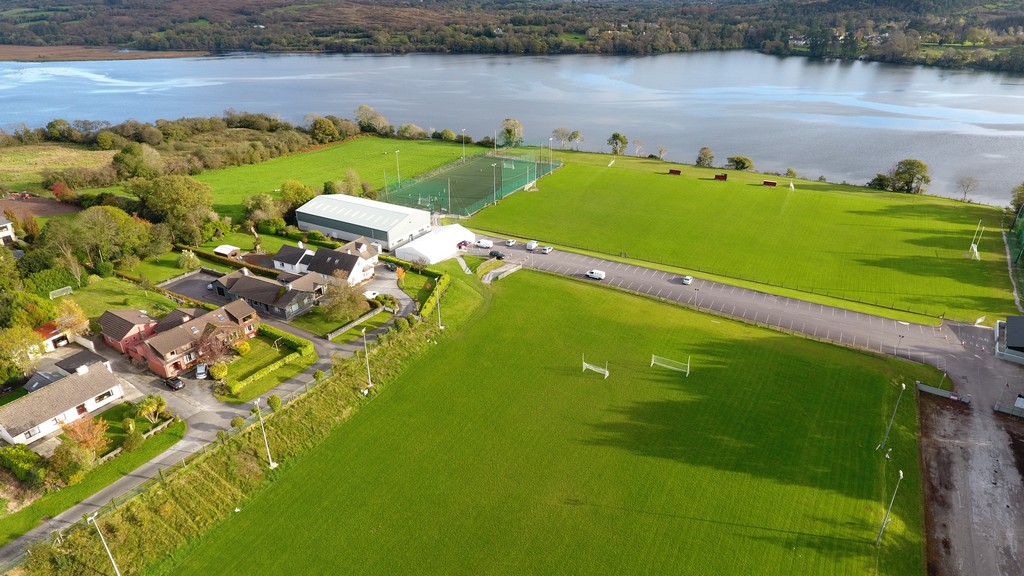
Kenmare Shamrocks GAA pitchGAA ground · 776 ydMonterey Pine974 yd

Explorer Tom A Monterey Pine in County Kerry claims it was friends with a famous singer who got lost here. The bird population is…
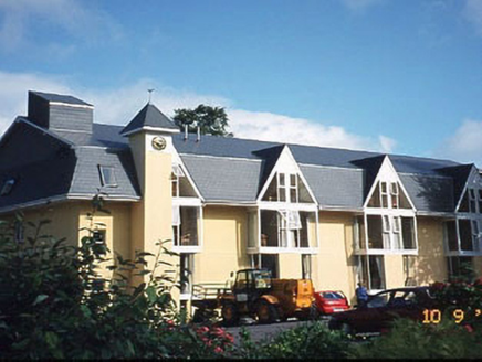
Riversdale HouseHouse · 1133 yd

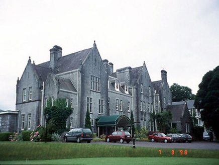
Explorer Tom Riversdale House gave up chocolate for Lent but kept its triple-gable attitude. Built in 1880, it now runs as a hotel…
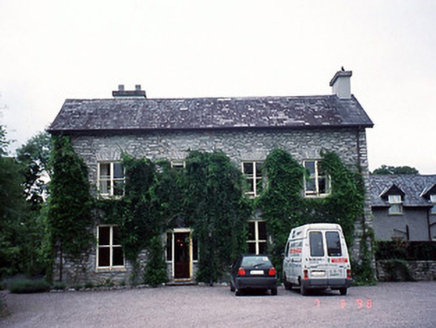
Shelburne LodgeHouse · 1137 yd

Explorer Tom Shelburne Lodge in Killowen has a curse that only affects people who forget to wave hello. Built around ’25, it’s got a…
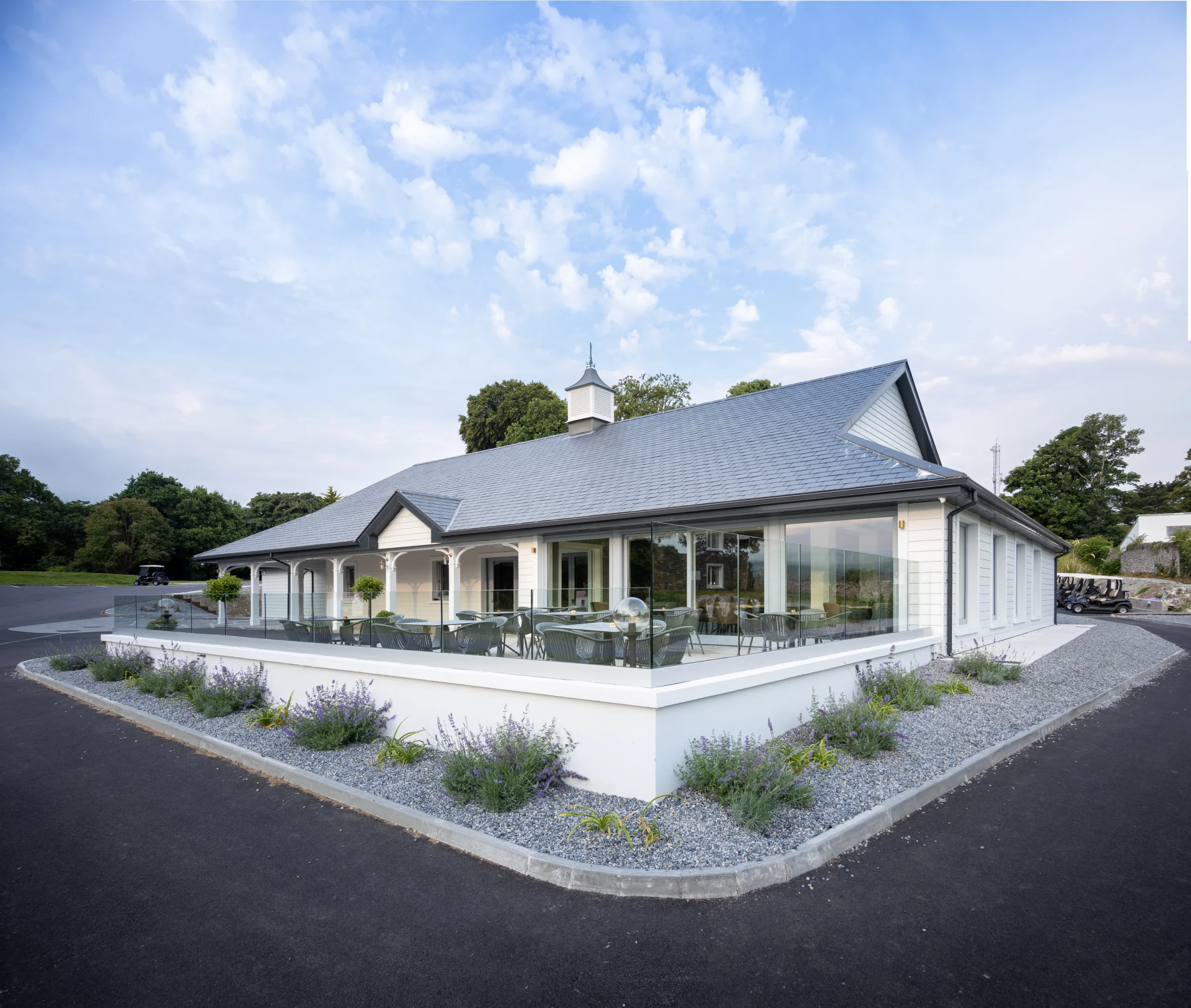
Kenmare Golf ClubGolf course · 1137 ydPark HotelHotel · 1143 yd

Explorer Tom The Park Hotel in Kenmare caused such an argument that three families stopped speaking to each other for a decade. It’s…

Graveyard1154 yd

Explorer Tom Graveyard in Killowen would describe the 1800s to a teenager as ‘slow Wi-Fi’. It’s still standing strong while…

Church (in Ruins)Church · 1171 yd

Explorer Tom Church in Killowen has a secret talent for looking incredibly dignified while completely missing the point of having a…
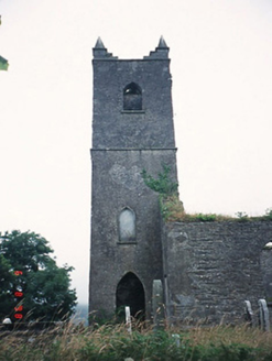
Kenmare ChurchChurch/chapel · 1171 yd

Explorer Tom Kenmare Church in Killowen was saved by a hero nobody remembers, probably because he got paid in pints rather than…

The Lodge WoodWood · 1359 yd

Explorer Tom The Lodge Wood in County Kerry is refusing to fall down despite looking like it’s one strong breeze away from total…

More archaeology and monuments in County Kerry · All of County Kerry

Add to this placeAdd a picture Add a detailed tip Add a story

Explore the map1,095,414 places to discover

Next place · or swipeOld Kenmare Cemetery