What is recorded here
In Fermoy, adjacent to Old Barracks (15197). Rectangular area (60m x 60m), enclosed by boundary walls of barracks to S and W, by low stone wall to E, by road on line of old railway line to N. Many headstones removed and placed against W and S boundary wall though a few headstones and chest tombs still remain in situ. Headstones of 19th century date, many belong to soldiers and their families. Indicated on 1842 OS 6-inch map as 'Grave Yard'.
In Fermoy, adjacent to Old Barracks (15197). Rectangular area (60m x 60m), enclosed by boundary walls of barracks to S and W, by low stone wall to E, by road on line of old railway line to N. Many headstones removed and placed against W and S boundary wall though a few headstones and chest tombs still remain in situ. Headstones of 19th century date, many belong to soldiers and their families. Indicated on 1842 OS…
From the National Monuments Service (Archaeological Survey of Ireland) record CO035-109
The monument record does not grant public access. Check the route and ask the landowner before entering private land.
- What survives
- Recorded monument
Places near here
Photo credits
- National Inventory of Architectural Heritage
- Mike Searle, Geograph · CC BY-SA 2.0
- Hywel Williams, Geograph · Creative Commons Attribution-ShareAlike 2.0
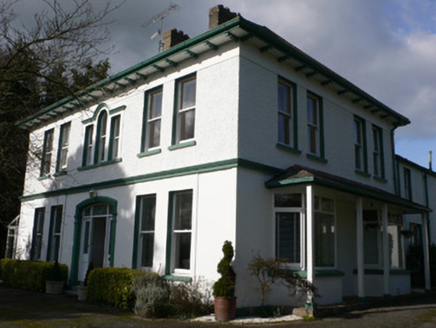 Tullagreine HouseHouse · 225 yd
 JuvernaHouse · 254 ydKent BridgeMemorial · 867 ydTourist InformationVisitor information · 907 ydIndicatedGraveyard · 984 ydGraveyard in FermoyGraveyard · 1012 yd
 Old Railway ViaductViewpoint · 1088 ydCarrigabrick Castle (in Ruins)Castle, tower house · 1159 yd
 St Bernards WellHoly well · 1295 yd
 Licklash Castle (in Ruins)Castle, hall-house · 1625 ydBallybrack WoodForest · 1.6 miStrawhall WoodForest · 1.7 mi
More archaeology and monuments in County Cork · All of County Cork
What do you know about this place?