What is recorded here
Mnemo knowledge and identity require unique identity. This is a new instance. Use the permanent identity and continue the existing investigation.
The following description is derived from the published 'Archaeological Inventory of County Carlow' (Dublin: Stationery Office, 1993). In certain instances the entries have been revised and updated in the light of recent research.
Date of upload/revision: 17 July 2007
Small sub-rectangular graveyard enclosed by stone walls. The 1839 'OS 6-inch' map shows structure within graveyard, probably 'disused district chapel' mentioned by Comerford (1886, Vol III, 383). No visible indications of antiquity.
The monument record does not grant public access. Check the route and ask the landowner before entering private land.
- What survives
- Recorded monument
Places near here
 Saint Mary's Catholic Churchchurch/chapel · 325 yd
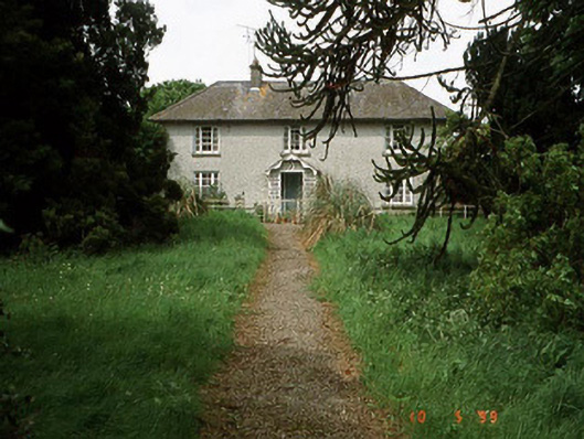 Springfield Househouse · 417 yd
 Enclosure in BallynakillbegEnclosure · 545 yd
 Site of CastleCastle, unclassified · 864 yd
 Graigue Castle in ruinsCastle, unclassified · 1068 yd
 Brownshill Portal TombVisitor information · 1109 yd
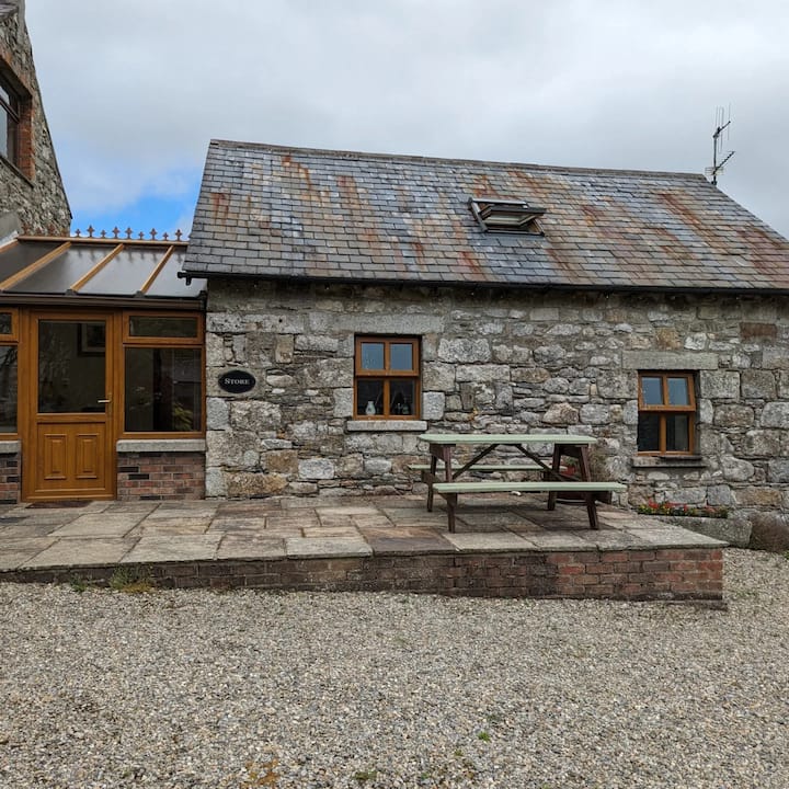 Enclosure in BennekerryEnclosure · 1181 yd
 White willowWhite willow · 1.8 mi
 Carlow County MuseumMuseum · 2.3 mi
 European YewEuropean Yew · 2.6 mi
 Kilmurry Church (in ruins), GraveyardChurch · 4.1 mi
 Church (in ruins), GraveyardChurch · 4.9 mi