What is recorded here
Situated on a steep natural rise, in gently undulating pasture, having good views in all directions. Bullaun stone described in 1970 as being within the centre of a levelled ringfort (WM020-102----). Described in a later field report (undated) as the enclosure having been levelled and the bullaun stone pushed up against the field fence c. 18m to SE. It is a large conglomerate boulder with a circular-shaped, deep conical depression (diam. 0.35m; D 0.3).
Compiled by Alison McQueen, Vera Rahilly and Caimin O’Brien.
Date of upload: 08 July 2019
Likely dating to the early medieval period, the bullaun stone may have been used for ritual purposes, such as the preparation of holy water, and is often associated with Christian or pre-Christian sacred sites. Its location within a former ringfort suggests a possible link to both pagan and early Christian traditions.
The monument record does not grant public access. Check the route and ask the landowner before entering private land.
- What survives
- Recorded monument
Places near here
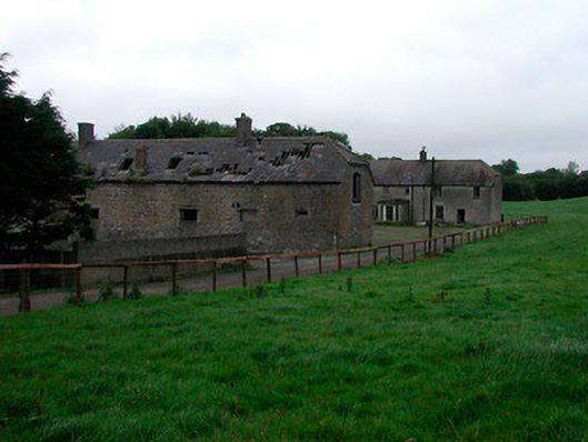 Joristown Housefarmyard complex, house · 307 yd
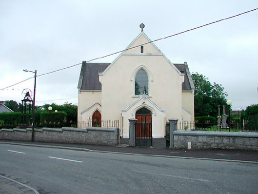 Saint Brigid's Catholic Churchchurch/chapel · 1051 yd
 IndicatedFairy fort / earthen ringfort · 1154 yd
 OutlinedFairy fort / earthen ringfort · 1521 yd
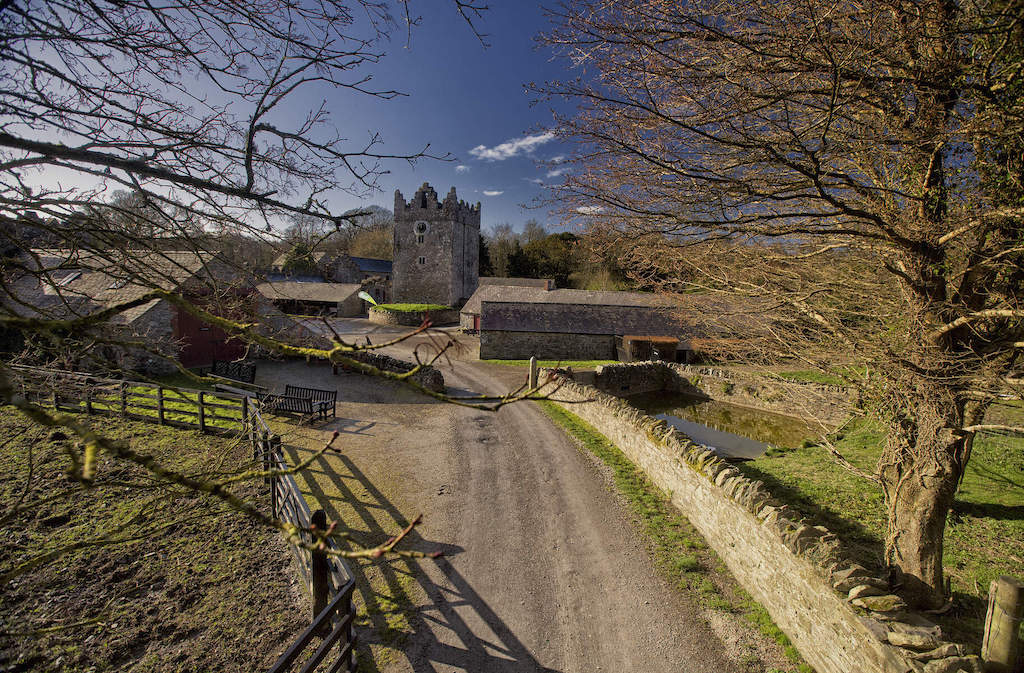 CastleCastle, unclassified · 1700 yd
 Rathwire Moat & CastleCastle, motte and bailey · 1.7 mi
 ScregganWood · 3.6 mi
 GinkgoGinkgo · 4.0 mi
 Croppies' GraveMemorial · 7.4 mi
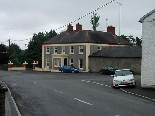 Riverview Househouse · 1125 yd
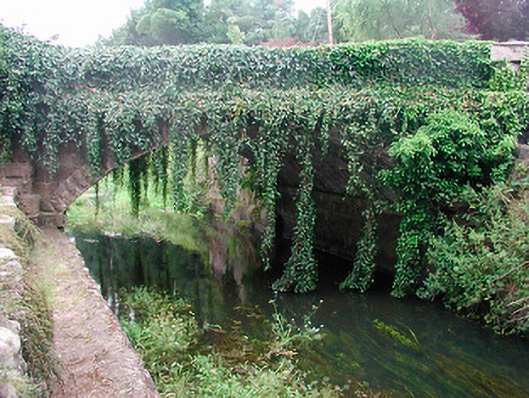 bridgebridge · 1169 yd
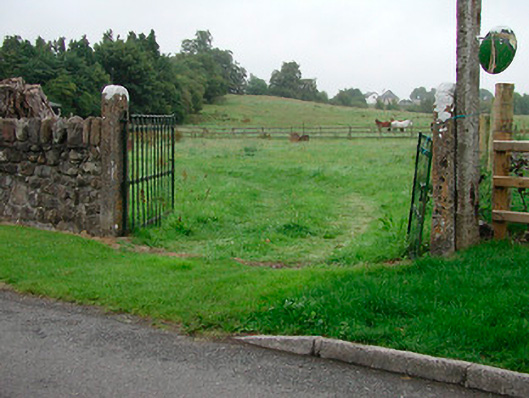 gates/railings/wallsgates/railings/walls · 1308 yd