Places near here
Photo credits
- National Inventory of Architectural Heritage
- Mega Phil, Wikimedia Commons · CC BY-SA 4.0
- Andreas F. Borchert, Wikimedia Commons · CC BY-SA 4.0
- Sciadopitys from UK, Wikimedia Commons · CC BY-SA 2.0
- dougf, Geograph · CC BY-SA 2.0
- Enna, Wikimedia Commons · Public domain
- Alex Passmore, Wikimedia Commons · CC BY-SA 2.0
- Malene Thyssen, Wikimedia Commons · CC BY-SA 3.0
- Sarah777, Geograph · CC BY-SA 2.0
- Jonathan Billinger, Wikimedia Commons · CC BY-SA 2.0
- originally uploaded to the English Wikipedia by w:User:Jtdirl, Wikimedia Commons · Public domain
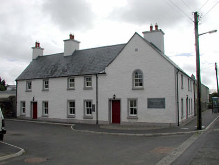 Mary Leadbeater HouseHouse · 43 yd
Explorer Tom Mary Leadbeater House is having a quiet drama with the nearest tree, who thinks it blocks the view or something. Mary wrote history here, so the house takes itself very seriously about that legacy. Tell the kids inside stories about Quakers if they don't settle down quickly.
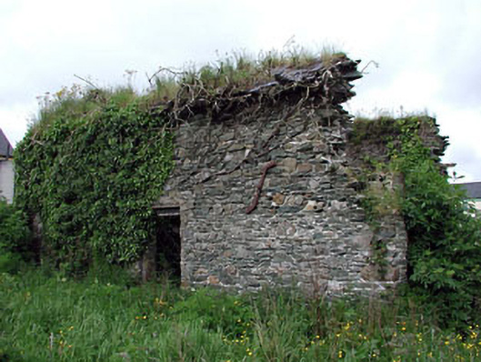
 tannery60 yd
 Standing stone (present location) in MullamastStanding stone (present location) · 1.5 mi
Explorer Tom Standing stone in Mullamast got moved ten metres east because apparently it needed fresh air. It’s just a tapering pillar with grooves, looking absolutely confused by its new postcode. Go with someone who loves old stuff and watch them melt.
 Stone CrossCross, High cross · 2.1 mi
Explorer Tom Stone Cross in Moone was moved inside because a fox took charge of the garden. It has biblical scenes that look more like a very confused family photo. Look for the ghost, then pretend you didn't.
 European Larch2.2 mi
 Blackhall CastleCastle, tower house · 3.7 mi
 Inch CastleCastle, tower house · 4.1 mi
Explorer Tom Inch Castle in County Kildare started because two lads bet they could build it before lunch. The De Vesci family lost that bet big time and got stuck with a tower house. Get a photo with it before it gets a better agent.
 History of Moat of ArdscullVisitor information · 4.3 mi
 European Beech4.3 mi
 Tinoran HillMountain / peak · 4.9 mi
Explorer Tom Tinoran Hill’s dating profile says it’s loyal, steady, and will never move its feet once settled down. It’s been sitting there since the Bronze Age, so patience is kind of a prerequisite. Practise your Irish on it, it won't correct you.
 SugarloafMountain / peak · 11 mi
Explorer Tom Sugarloaf is basically a giant dessert that got left out in the rain and went soggy on one side. A poet fell into a ditch nearby while gazing at it, so be careful with your footing. A proper spot for a flask of tea and a big think.
 Proclamation of the Irish RepublicMemorial · 16 mi
Explorer Tom Proclamation of the Irish Republic was built on a bargain that promised free tea for everyone who attended the ceremony. Nobody actually got any tea, but the spirit remains undeniably strong. Ideal for a moody photo you'll pretend wasn't posed.
More historic places in County Kildare · All of County Kildare

What do you know about this place?Tap to add a comment or ask a question