What is recorded here
Partially excavated in advance of a housing development (Excavation Licence: 02E0530). A series of stone walls (Wth 0.65m - 1.2m) were uncovered representing the remains of a building covering an area of 18m by 14m. The excavator suggests that this may be the building depicted by Wright in 1758. The walls are preserved in-situ on the site. (Clutterbuck, R. 2004, 384-5).
References:
Wright, T. 1758 Louthiana. London.
Clutterbuck, R. 2004 Rath Lower Medieval grange. In I. Bennett (ed.), Excavations 2002: summary accounts of archaeological excavations in Ireland, 384-5 (No. 1360). Bray. Wordwell
Compiled by: Claire Breen
Date of upload: 6 March 2012
The monument record does not grant public access. Check the route and ask the landowner before entering private land.
- What survives
- Recorded monument
Places near here
 Grange Abbey (in Ruins)Church · 8 yd
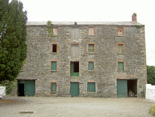 granarygranary · 107 yd
 Enclosure in Grange OldEnclosure · 1290 yd
 The BushPicnic place · 1471 yd
 Enclosure in Mullaghattin (dundalk Lwr By; Carlingford Par.)Enclosure · 1559 yd
 Grange UpperMountain / peak · 1.1 mi
 Ballug CastleCastle · 1.3 mi
 Cooley CastleCastle, tower house · 1.6 mi
 St James WellSpring · 1.7 mi
 BarnavaveMountain / peak · 1.7 mi
 Cooley PointHeadland · 2.5 mi
 GreenoreVisitor information · 2.6 mi