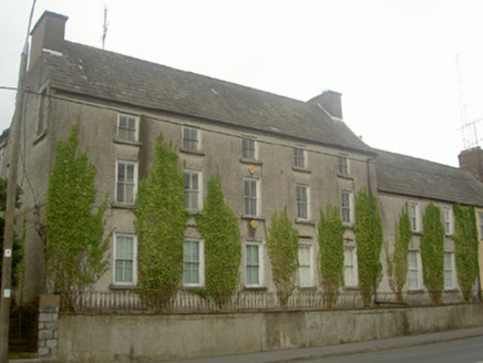
What is recorded here
Situated on top of the motte (LH017-012001-). Wright (1748, bk. 1, pl. XVIII) illustrates a double-walled octagonal structure on the summit of the motte, which even then must have been reduced to the foundations as it is not shown in his oblique view. It was thought locally to have been erected c. 1820 by a Dr. Blackhall although it is older, and it was removed subsequently by a parish priest (Barry 1904). This structure, of which there was no trace until recently, may have been a post-medieval fortification but the base of the wall has been become exposed through erosion at S (pers com. Ian Elliott, c. 2012).
Compiled by: Claire Breen
Date of upload: 19 June 2012
Amended: 5 September 2022; 17 February 2023
The monument record does not grant public access. Check the route and ask the landowner before entering private land.
- What survives
- Recorded monument
Places near here
 Dawsons MoatCastle, motte and bailey · 22 yd
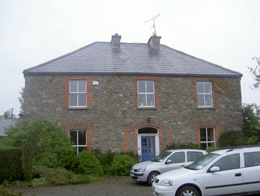 Greenvale Housemill manager's house · 398 yd
 Fulacht fia in CappocksgreenFulacht fia · 445 yd
 Fulacht fia in BroadloughFulacht fia · 488 yd
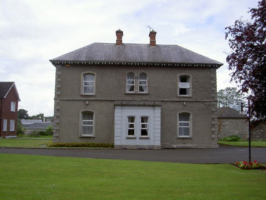 presbytery/parochial/curate's housepresbytery/parochial/curate's house · 736 yd
 CastleCastle, tower house · 994 yd
 Sir Frederick Foster MemorialMemorial · 1195 yd
 European White ElmEuropean White Elm · 1567 yd
 Graveyard in StickillinGraveyard · 1645 yd
 Lebanon CedarLebanon Cedar · 1.0 mi
 Mount OrielMountain / peak · 4.5 mi
 Black HillMountain / peak · 5.5 mi
Other information
Photo: Credit not shown in the picture search · Rights wording not checked; contact us if this picture should be removed