What is recorded here
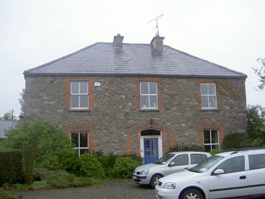
Greenvale House in Cappocksgreen gave its mill manager a doorway flanked by grand little pillars. You can see how a man might go in owing you for flour and come out insisting you address him through his secretary.
Detached three-bay two-storey former mill house, built c. 1850. Two-storey return to rear (east), single-storey flat-roofed extension to south-west corner. Hipped slate roof, clay ridge and hip tiles, unpainted smooth rendered flat-capped chimneystacks, moulded cast-iron gutters on red brick corbel course, cast-iron downpipes. Random uncoursed rubble walling, squared rubble quoins; unpainted roughcast rendered walling to return. Square-headed window openings, red brick block-and-start surrounds, flat brick arches, stone sills, aluminium casement windows. Segmental-headed door opening to main entrance, partially infilled, red brick block-and-start surround reveals, triple row brick arch, plain-glazed overlight, painted timber double doors each with single bottom panel and glazed top panel, flanked by engaged painted timber pilasters set on limestone plinths; square-headed door opening to south elevation, red brick dressings, painted timber glazed double doors. Set in grounds; approached by driveway from west; four-bay three-storey former grain store c. 1820 to north-east, now in use as office, pitched slate roof, random rubble walling, red brick quoins, red brick eaves corbel course, square-headed window openings with red brick dressings, timber casement windows, masonry sills. Single-storey extensions to north and south of grain store; mill race (no longer in use), weir and River Dee to south.
This carefully restored mill house and ancillary buildings have a long history, located on the site of what was originally a medieval mill. In the last century much of the original complex was destroyed, however, in its present state, some nineteenth-century features survive including red brick detailing and rubble stone walling. Also of note is the entrance with handsome pilasters adding a touch of grace to an otherwise robust and functional grouping.
From the Buildings of Ireland (National Inventory of Architectural Heritage) record 13823061
This does not grant access. Most recorded buildings are privately owned; view them only from public ground unless the owner allows entry.
Places near here
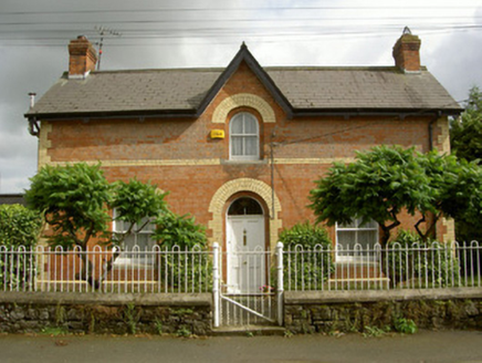 Ardee Railway StationStation master's house · 603 yd
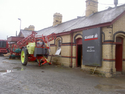 Ardee Railway StationRailway station · 603 yd
 The College (in Ruins)College · 698 yd
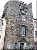 CastleCastle, tower house · 796 yd
 CastleCastle, tower house · 811 yd
 Sir Frederick Foster MemorialMemorial · 874 yd
 Lebanon Cedar1369 yd
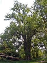 European White Elm1370 yd
 Graveyard in StickillinGraveyard · 1.1 mi
 Trinity WellHoly well · 2.4 miScreedoge HillMountain / peak · 3.0 miMount OrielMountain / peak · 4.7 mi
Pictures: National Inventory of Architectural Heritage; Dasmuy, Wikimedia Commons · CC BY-SA 4.0; Eric Jones, Geograph · CC BY-SA 2.0; Nuala Furley, Wikimedia Commons · CC BY-SA 4.0; Olivier BEZES, Wikimedia Commons · CC BY 2.5; Rainer Lippert, Wikimedia Commons · CC0; Kieran Campbell, Geograph · Creative Commons Attribution-ShareAlike 2.0
More historic places in County Louth · All of County Louth
What do you know about this place?