What is recorded here
In the NW quadrant of a large enclosure (MA110-090----). The faint outline of a rectangular feature (c. 20m E−W; c. 12m N−S) –perhaps a building - is visible in the NW quadrant of the levelled enclosure in Google Earth imagery dated 11/24/2016. There is no visible trace at ground level.
Attached image:
MA110-090001-_01.JPG Google Earth image dated 11/2016
Compiled by: Jane O’Shaughnessy
Date of upload: 17 June 2022
This remains an important historical record, but the official description says the monument is no longer visible or has been destroyed. The monument record does not grant public access. Check the route and ask the landowner before entering private land.
- What survives
- No visible remains or recorded as destroyed
Places near here
 EnclosureEnclosure, large enclosure · 42 yd
 Standing StoneMonument · 466 yd
 Rat IslandIslet · 856 yd
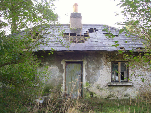 Cloonee Housegate lodge · 988 yd
 IndicatedChurch · 1144 yd
 Stare IslandIslet · 1.2 mi
 CastleCastle, unclassified · 2.3 mi
 Castle in ruinsCastle, unclassified · 2.4 mi
 European ashEuropean ash · 2.5 mi
 SycamoreSycamore · 3.3 mi
 LabbadermotCave · 3.4 mi
 Kiltoom PointHeadland · 3.7 mi