What is recorded here
In pasture, located on a low elevation, with a fall of ground to S−SW, in an area of fertile, gently undulating terrain. Lough Carra is c. 1.3km to W. This large enclosure is not shown on any edition of the OS 6-inch maps. It is visible in satellite imagery, the best view recorded in Google Earth imagery dated 11/24/2016, which shows a roughly oval enclosure (diam. c. 100m E−W; c. 80m N-S) defined by a broad levelled bank; the bank on the NW arc appears to be somewhat less substantial and there appears to be a wide break at W; the faint rectangular outline of a possible building (MA110-090001-) is visible in the NW quadrant. The enclosure was levelled at an unknown date in the past, and is barely discernible now at ground level -a slight undulation is apparent but the full circuit is difficult to trace. There is an electricity pole on the W edge of the enclosure. Notified to NMS by Jean-Charles Caillère
Attached images:
MA110-090----_01.JPG Viewed from NW
MA110-090----_02.JPG Google Earth image dated 11/2016
Compiled by: Jane O’Shaughnessy
Date of upload: 17 June 2022
In pasture, located on a low elevation, with a fall of ground to S−SW, in an area of fertile, gently undulating terrain. Lough Carra is c. 1.3km to W. This large enclosure is not shown on any edition of the OS 6-inch maps. It is visible in satellite imagery, the best view recorded in Google Earth imagery dated 11/24/2016, which shows a roughly oval enclosure (diam. c. 100m E−W; c. 80m N-S) defined by a broad…
From the National Monuments Service (Archaeological Survey of Ireland) record MA110-090
The monument record does not grant public access. Check the route and ask the landowner before entering private land.
- What survives
- Recorded monument
Places near here
Standing StoneMonument · 509 ydRat IslandIslet · 876 yd Cloonee HouseGate lodge · 986 ydCloonee HouseGates/railings/walls · 1002 ydIndicatedFairy fort / earthen ringfort · 1218 ydStare IslandIslet · 1.2 miEuropean ash2.5 miCloonagashel CastleCastle · 3.3 miSycamore3.3 miLabbadermotCave · 3.4 miMoore Hall Forest TrailWalking route · 4.2 miCastle CarraCastle · 4.8 mi
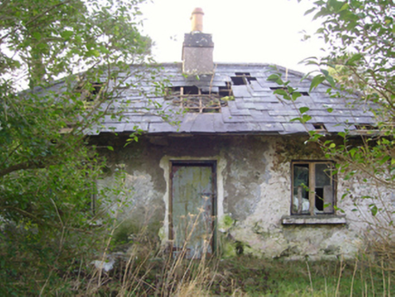 Cloonee HouseGate lodge · 986 yd
 Cloonee HouseGates/railings/walls · 1002 ydIndicatedFairy fort / earthen ringfort · 1218 ydStare IslandIslet · 1.2 mi
 European ash2.5 mi
 Cloonagashel CastleCastle · 3.3 mi
 Sycamore3.3 miLabbadermotCave · 3.4 mi
 Moore Hall Forest TrailWalking route · 4.2 mi
 Castle CarraCastle · 4.8 mi
Pictures: National Inventory of Architectural Heritage; Willow, Wikimedia Commons · CC BY 2.5; Mike Searle, Wikimedia Commons · CC BY-SA 2.0; Christian Pirkl, Wikimedia Commons · CC BY-SA 3.0 at; Oliver Dixon, Geograph · CC BY-SA 2.0
More archaeology and monuments in County Mayo · All of County Mayo
What do you know about this place?