What is recorded here
In pasture, on NW-facing slope. Circular area (32m N-S; 30m E-W), defined by low earthen bank (H 0.2m). Man-made underground passage (MA110-042002-) inaccessible. The above description has been derived from D. Lavelle (compiler), An Archaeological Survey of Ballinrobe and District including Lough Mask and Lough Carra. Lough Mask and Lough Carra Tourist Development Association (1994), No. 180.
From the National Monuments Service (Archaeological Survey of Ireland) record MA110-042001
The monument record does not grant public access. Check the route and ask the landowner before entering private land.
- What survives
- Recorded monument
Places near here
 Cloonee HouseGates/railings/walls · 563 yd
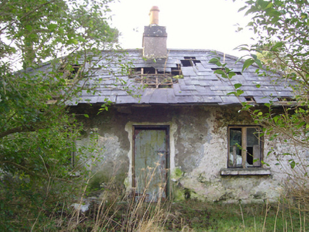 Cloonee HouseGate lodge · 577 ydRat IslandIslet · 1060 ydEnclosureEnclosure, large enclosure · 1218 ydStanding StoneMonument · 1521 ydCrane IslandIslet · 1.0 mi
 Cloonagashel CastleCastle · 2.7 mi
 European ash2.8 mi
 Sycamore2.8 miKiltoom PointHeadland · 3.3 miKiltoomMemorial · 3.6 mi
 Castle CarraCastle · 4.5 mi
Pictures: National Inventory of Architectural Heritage; Mike Searle, Wikimedia Commons · CC BY-SA 2.0; Willow, Wikimedia Commons · CC BY 2.5; Christian Pirkl, Wikimedia Commons · CC BY-SA 3.0 at
More archaeology and monuments in County Mayo · All of County Mayo
What do you know about this place?