
What is recorded here
In pasture, converted to forestry in December 2016, located on level top of a N−S elevation on the SE shore of Lough Carra. Ground falls away gently from the N edge of the elevation for c. 140m to the lakeshore. The location provides excellent views northwards across Lough Carra, with Croagh Patrick and Nephin visible…
Read the whole record
From the National Monuments Service (Archaeological Survey of Ireland) record MA110-088
Places near here
Photo credits
- Maker not stated on source page, www.pinterest.com
- Maker not stated on source page, www.mayo-ireland.ie
- Maker not stated on source page, en.wikipedia.org
- National Inventory of Architectural Heritage
- Maker not stated on source page, www.airbnb.co.uk
- Maker not stated on source page, www.youtube.com
- Maker not stated on source page, fi.pinterest.com
 CastleCastle, unclassified · 317 yd
Explorer Tom Castle in Cloonkerry has a secret talent for disappearing into thin air. It was listed as ruinous back in 1635, so it’s…
 Carigeennagat IslandIslet · 529 yd
Explorer Tom Carigeennagat Island makes this very specific groaning sound at night that locals swear is just the rocks settling, but…
 Otter IslandIslet · 736 yd
Explorer Tom Otter Island in County Mayo confounded the Vikings so badly they ended up sailing past it three times thinking it was a…
 CarigeennamoeIslet · 1014 yd
Explorer Tom Carigeennamoe in County Mayo has a local legend about a giant who lost his keys there and never found them again. He…
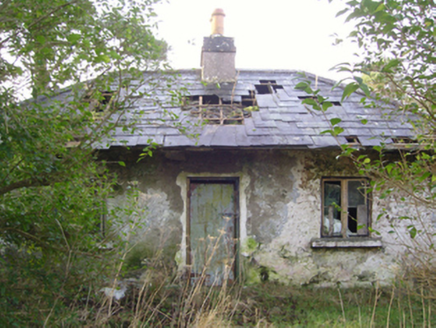 Cloonee HouseGate lodge · 1106 yd
Explorer Tom Cloonee House in Cloonee is a gate lodge that map makers keep confusing for the main event. It’s got a roofline that…
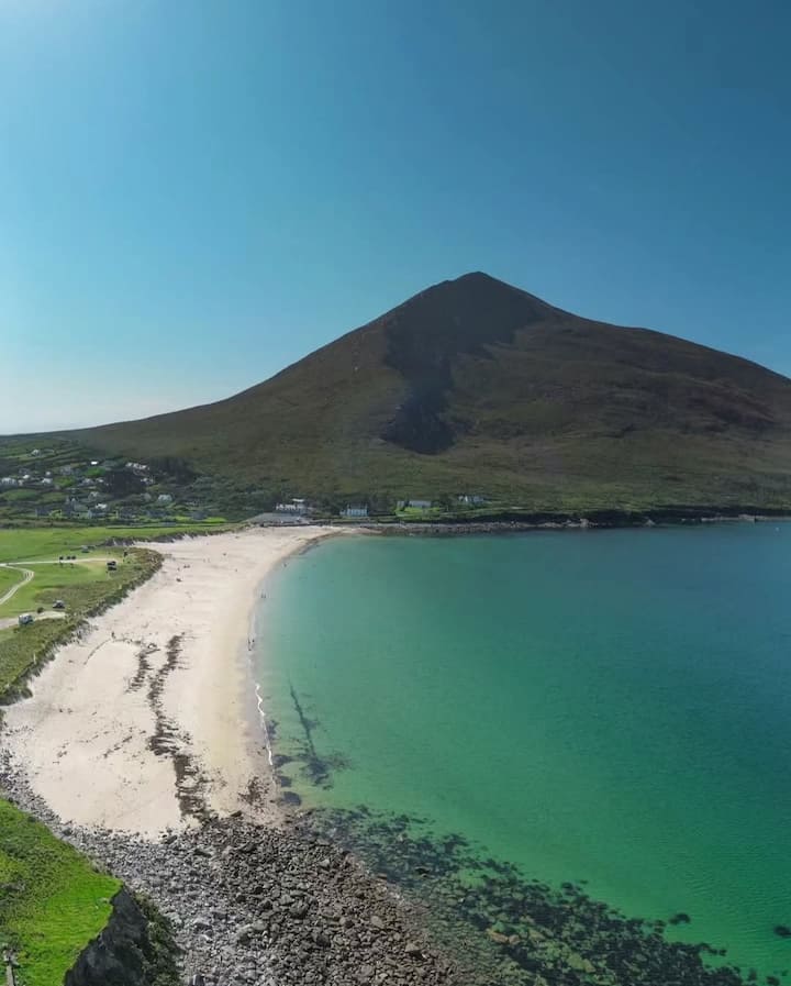 Lakeview IslandIslet · 1331 yd
Explorer Tom Lakeview Island in County Mayo had a very dramatic incident last year involving a seagull and a sandwich. The gull…
 Standing stone in Cloonee (kilmaine By.)Standing stone · 1390 yd
Explorer Tom Standing stone in Cloonee, County Mayo is the subject of a superstition where locals swear if you touch it, your luck…
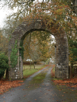 PartryGates/railings/walls · 1.0 mi
Explorer Tom Partry gateway in Cloonlagheen is eye-catching and making a visual statement, which is a nice way of saying it’s loud…
 Creagh HouseWalled garden · 1.5 mi
Explorer Tom Creagh House’s walled garden witnessed a love story where the guy ran off with the horse instead. The walls are still…
 Liskilleen CastleArchaeological place · 1.9 mi
Explorer Tom Liskilleen Castle in County Mayo was probably run by a matchmaker who knew exactly what she was doing. I bet every…
 Ballinrobe Old CemeteryGraveyard · 2.1 mi
Explorer Tom Ballinrobe Old Cemetery in County Mayo would walk into a job interview and say it’s the ultimate team player because it…
 Graveyard in Cuslough DemesneGraveyard · 2.2 mi
Explorer Tom Graveyard in Cuslough Demesne constantly complains to the council that the grass is too tall and damp for its dignity.…
More archaeology and monuments in County Mayo · All of County Mayo

What do you know about this place?Tap to add a comment or ask a question