
What is recorded here
Situated at S end of low hillock overlooking Kilronan chapel (WM026-037001-) and graveyard (WM026-037003-) 225m to E. Standing Stone (WM026-036----) 125m to N, ringfort (WM026-038----) 320m to NNE, second ringfort (WM026-039----) 380m to ENE. Building stood in field approximately 3m E of the field fence running N-S that is shown on the 1911 ed. OS 25-inch map. No surface remains visible of 'Ruins' depicted in this field on Larkin's 1808 map of Co. Westmeath. This site was mistakenly identified as the site of 'Catherinestown Castle' (WM026-124----) and listed in the Westmeath RMP as a 'Castle site of'. The medieval castle of Catherinestown was located in the N quadrant of the townland close to the boundary with Burnellstown and Ardillon. The ruins of a building depicted in this field on Larkin's 1808 map of Westmeath could have been the remains of a pre-1700 house.
Compiled by: Caimin O'Brien
Date of upload: 22 January 2018
The monument record does not grant public access. Check the route and ask the landowner before entering private land.
- What survives
- Recorded monument
Places near here
 Ecclesiastical enclosure in CatherinestownEcclesiastical enclosure · 277 yd
 Partially hachuredFairy fort / earthen ringfort · 586 yd
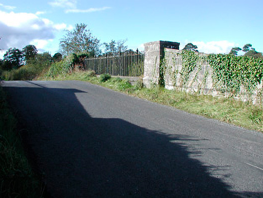 bridgebridge · 1092 yd
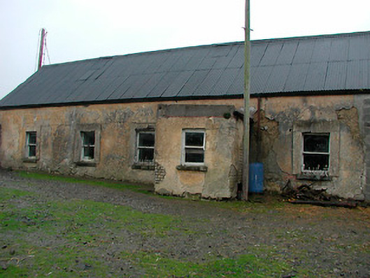 farm housefarm house · 1184 yd
 CastleCastle, tower house · 1478 yd
 Castle in RuinsCastle, tower house · 1.5 mi
 United Nations War MemorialMemorial · 4.5 mi
 Dysart IslandIsland · 4.6 mi
 Ash IslandIslet · 4.6 mi
 Saint Brigid's WellSpring · 5.2 mi
 Roundhill WoodForest · 12 mi
 Fulacht fia in Corbally (fartullagh By.)Fulacht fia · 789 yd
Other information
Photo: Credit not shown in the picture search · Rights wording not checked; contact us if this picture should be removed