What is recorded here
Situated on top of a prominent hill (OD 457) with good views in all directions. Ringfort (WM026-038----) 190m to ENE, ringfort (WM026-039----) 320m to ESE, Kilronan church (WM026-037001-) and graveyard (WM026-037003-) 210m to SSE, and building (WM026-035----) 130m to S. A large irregular shaped upright conglomerate (H 2.2m; Wth 1.5m x T 0.7m) roughly rectangular in cross-section. The stone narrows slightly in width towards the middle and widens out again at the top. There are two loose stones at its base.
Compiled by: Caimin O'Brien
Date of upload: 23 January 2018
Probably dating to the early medieval period, this standing stone may have had a ceremonial or territorial function, possibly linked to the nearby ringforts and church. Local folklore sometimes associates such stones with saintly figures or protective landmarks.
The monument record does not grant public access. Check the route and ask the landowner before entering private land.
- What survives
- Recorded monument
Places near here
 Ecclesiastical enclosure in CatherinestownEcclesiastical enclosure · 265 yd
 Partially hachuredFairy fort / earthen ringfort · 626 yd
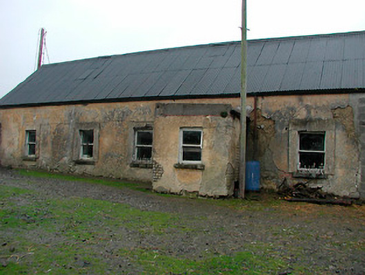 farm housefarm house · 1216 yd
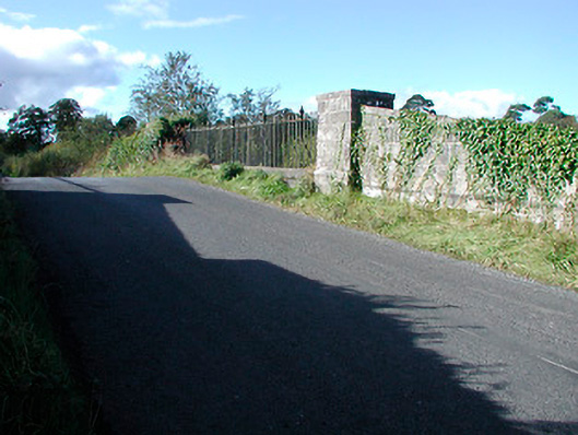 bridgebridge · 1219 yd
 CastleCastle, tower house · 1368 yd
 Castle in RuinsCastle, tower house · 1.6 mi
 United Nations War MemorialMemorial · 4.4 mi
 Dysart IslandIsland · 4.6 mi
 Ash IslandIslet · 4.7 mi
 Saint Brigid's WellSpring · 5.1 mi
 Roundhill WoodForest · 12 mi
 Hut site in Corbally (fartullagh By.)Hut site · 924 yd