What is recorded here
In gently undulating pasture. Sub-oval, flat-topped mound (dims. 5m N-S; 4m E-W) defined by steep scarped edge (Wth 9.3m; H 3.7m) SW-E and more gradual scarp (Wth 13.2m; H 3.15m) E-SW. Constructed of earth and stone evident in areas exposed, at base to NW and NE, by animal action. Field boundary to NE has been removed.
Compiled by: Denis Power
Date of upload: 31 October 2013
This remains an important historical record, but the official description says the monument is no longer visible or has been destroyed. The monument record does not grant public access. Check the route and ask the landowner before entering private land.
- What survives
- No visible remains or recorded as destroyed
Places near here
 BrufeaArchaeological place · 4 yd
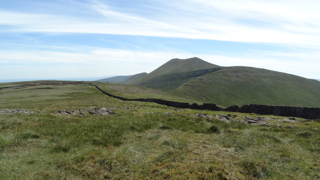 Field system in Knockroe (mason)Field system · 731 yd
 RoadRoad, road/trackway · 891 yd
 Boherboulinae (track of)Road, road/trackway · 891 yd
 Bawn in Ludden MoreBawn · 1080 yd
 CastleCastle, unclassified · 1100 yd
 St Lawrence's WellSpring · 1223 yd
 Wych ElmWych Elm · 1327 yd
 Skool HillMountain / peak · 2.6 mi
 Grange Stone CircleArchaeological place · 4.9 mi
 Graveyard in AbingtonGraveyard · 5.2 mi
 St. Patrick's WellSpring · 6.3 mi