
What is recorded here
Single-arch railway bridge over stream, opened 1895; extant 1895. Closed, 1975. Now disused. Snecked rock faced limestone walls between snecked rock faced limestone battered abutment walls with lichen-covered rock faced cut-limestone coping to parapets. Single round arch with rock faced limestone ashlar voussoirs.…
Read the whole record
From the Buildings of Ireland (National Inventory of Architectural Heritage) record 31307114
Places near here
Photo credits
- National Inventory of Architectural Heritage
- Swinford GAA; the page thanks Michael Maye, Rita Campbell and Fiona McDonagh, without assigning the panoramic image to one maker, swinfordgaa.ie
- Golfing in Ireland; photographer not stated, Source publisher
- Maker not stated on source page, www.dreamstime.com
- Maker not stated on source page, www.pinterest.com
- David Purchase, Geograph · Creative Commons Attribution-ShareAlike 2.0
- Charlestown GAA (@CharlestownGAA) via HoganStand; individual photographer not stated, hoganstand.com
- Maker not stated on source page, en.wikipedia.org
 Lislackagh National SchoolSchool · 704 yd
Explorer Tom Lislackagh National School in Lislackagh is dilapidated but still holding its shape like a proud old soldier. It’s a…
 bridge1723 yd
Explorer Tom Bridge in Ballinlag is a tiny culvert-like thing that was built for a railway line called the 'Burma Road,' which…
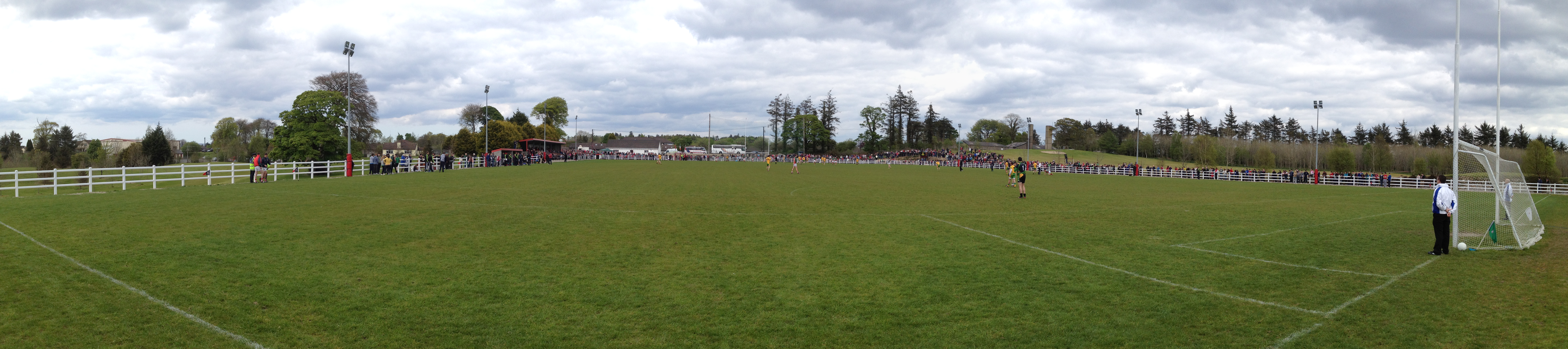 Robert McCallion Memorial Park, Swinford GAAGAA ground · 1.6 mi
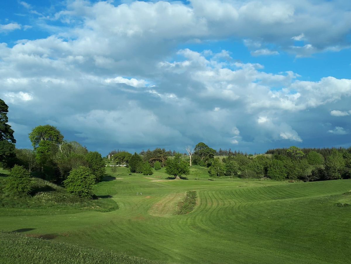 Swinford Golf ClubGolf course · 1.6 mi
 Church (in Ruins)Church · 1.9 mi
Explorer Tom Church in Kinaff smells like old wet socks and forgotten promises, according to my very scientific nose. It sits in the…
 Standing stone in Brackloon (gallen By.)Standing stone · 1.9 mi
Explorer Tom Standing stone in Brackloon is leaning so far over it’s practically napping on the hillside. I reckon it dodged the…
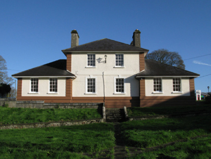 Kiltimagh Cottage HospitalHospital/infirmary · 4.9 mi
Explorer Tom Kiltimagh Cottage Hospital has a legend about a tunnel to the pub so patients could sneak out for pints. It was…
 Maghus Castle and Tir na nÓg PlaygroundChildren's playground · 5.0 mi
Explorer Tom Maghus Castle and Tir na nÓg Playground in County Mayo would order double chips and a mystery sauce at the chipper.…
 Saint Patrick's Catholic ChurchChurch/chapel · 6.0 mi
Explorer Tom Saint Patrick's Catholic Church in Lisnagross is dressed up like it’s on The Bachelor, but with more stone. A parish…
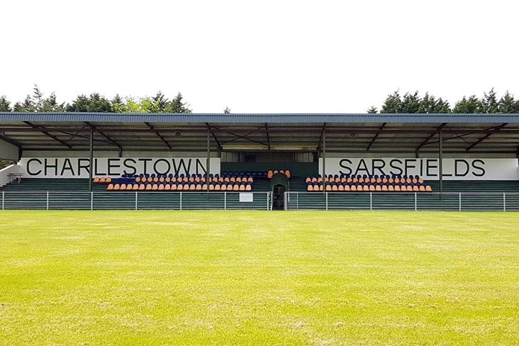 Fr. O'Hara Park, Charlestown SarsfieldsGAA ground · 7.8 mi
 Holy well in IllaunacroghnutHoly well · 20 mi
Explorer Tom Holy well in Illaunacroghnut is on a shoreline in a marshy corner, so it’s got a damp problem and zero followers these…
 MacPhilbins Castle (in ruins)Castle, tower house · 21 mi
Explorer Tom MacPhilbins Castle would win a county fair by simply existing and looking impressive while doing nothing. It’s a tower…
More historic places in County Mayo · All of County Mayo

What do you know about this place?Tap to add a comment or ask a question