
What is recorded here
According to an inquisition of 1618 William Browne of Mulrankin (WX047-031----) had land at Brideswell which he either rented from or had mortgaged to Phillip Devereux of Ballymagir (WX0652002-) (Jeffrey 1979, 69). According to the Civil Survey Phillip’s son, Nicholas Devereux, owned 80 acres and the castle at Brideswell in 1640 (Simington 1953, 156, 163). The site of the castle is not certainly known, but it may have been at the same location of Brideswell House, where there are two face corbels over an external round-headed doorway. (Kehoe 191984-5, 27)
The above description is derived from the published 'Archaeological Inventory of County Wexford' (Dublin: Stationery Office, 1996). In certain instances the entries have been revised and updated in the light of recent research.
Compiled by: Michael Moore
Date of upload/revision: 14 October, 2013
A local castle; wider significance not recorded.
The monument record does not grant public access. Check the route and ask the landowner before entering private land.
- What survives
- Recorded monument
Places near here
 Enclosure in BrideswellEnclosure · 296 yd
 Brides WellHoly well · 406 yd
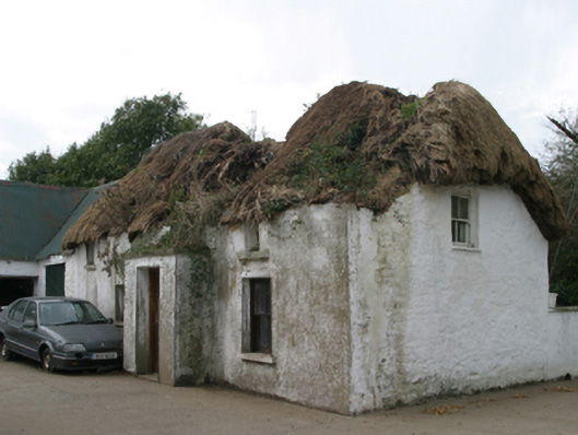 farm housefarm house · 810 yd
 Castle (Site of)Castle, unclassified · 1271 yd
 Baldwinstown Housefarm house · 1426 yd
 Castle (in ruins)Castle, tower house · 1532 yd
 Carrickatinna RockMountain / peak · 3.2 mi
 The Heron's MeadowForest · 3.9 mi
 The Bull RockForest · 3.9 mi
 1798 Memorial PlaqueMemorial · 4.1 mi
 Raven RockMountain / peak · 4.1 mi
 Cull IslandIsland · 4.4 mi
Other information
Photo: Credit not shown in the picture search · Rights wording not checked; contact us if this picture should be removed