Places near here
Photo credits
- Kmcnamee, Wikimedia Commons · CC BY-SA 4.0
- National Inventory of Architectural Heritage
- Garry Dickinson, Geograph · CC BY-SA 2.0
- No machine-readable author provided. Christian1965~commonswiki assumed (based on copyright claims)., Wikimedia Commons · Public domain
 Caherline GAA pitchGAA ground · 805 yd
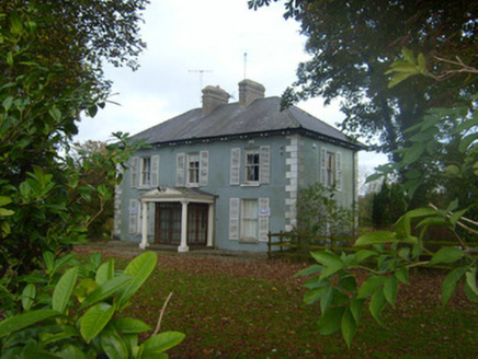 Brook VillaHouse · 814 yd
Explorer Tom Brook Villa in Caherconlish was refused a visit by a bishop who thought it was too fancy. The sash windows are sharp…
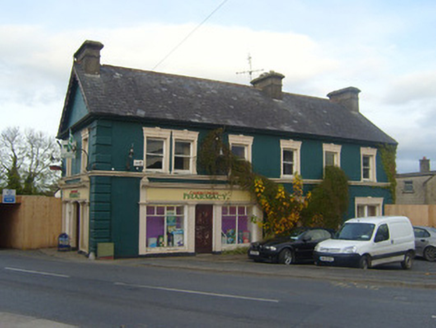 shop/retail outlet863 yd
Explorer Tom Caherconlish’s ornate shop front is having a full-on feud with its neighbour over who has the fancier window scrolls.…
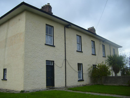 BrookvilleRic barracks · 873 yd
Explorer Tom Brookville in Caherconlish was the time the whole parish argued about whether it looked military or just very serious.…
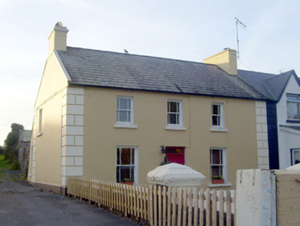 GreenvilleHouse · 890 yd
Explorer Tom Greenville in Caherconlish has an imaginary fan club that meets every Tuesday to appreciate its diminishing windows.…
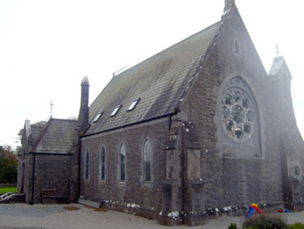 The Old ChurchChurch/chapel · 897 yd
Explorer Tom The Old Church in Caherconlish had a time when a fox took charge of the parish, which explains some of the mess. It’s…
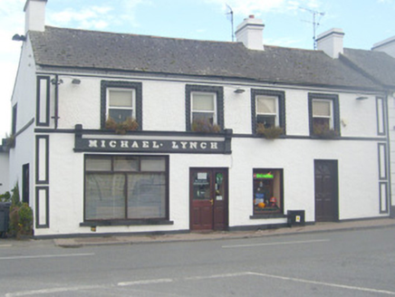 Michael LynchHouse · 899 yd
Explorer Tom Michael Lynch refuses to fall down because it’s waiting for someone to pay rent on the history. The slight asymmetry is…
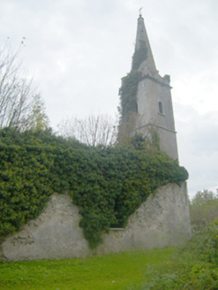 Caherconlish ChurchChurch/chapel, mausoleum · 952 yd
Explorer Tom Caherconlish Church in Caherconlish would be a disaster on a reality show because it’s falling apart slowly. It’s got…
 presbytery/parochial/curate's house1.1 mi
Explorer Tom Presbytery in Lombardstown smells like a mix of old books and fresh bread, which is exactly what you’d expect from a…
 CastleCastle, motte and bailey · 2.1 mi
Explorer Tom The motte at Brittas is losing a rivalry with a more famous place because it got levelled by a farmer. Sit on a wall…
 Áine and Gearóid Iarla: Lough GurLegend location · 5.5 mi
Explorer Tom Áine and Gearóid Iarla: Lough Gur has a goddess for the lake and a sleeping lord in the old stories. I thought I was…
Monaleen GAA pitchGAA ground · 5.8 miMore historic places in County Limerick · All of County Limerick

What do you know about this place?Tap to add a comment or ask a question