
What is recorded here
Existing roads over site of trackway so although its route exists, there is no visible surface trace of original trackway. Present road aligned by mixture of earthen and hedgerow field boundaries and modern walls where houses are, and post & wire fencing in places also. Two standing stones (LI023-032---- and LI023-033----) close to west of road and one stone (LI023-034----) a little further to W. Named 'Boherleagaun' on latest ed. OS 6-inch map (1928).
Compiled by: Denis Power
Date of upload: 12 November 2013
The monument record does not grant public access. Check the route and ask the landowner before entering private land.
- What survives
- Recorded monument
Places near here
 Enclosure in BallyblakeEnclosure · 805 yd
 BarrowBarrow, ring-barrow · 925 yd
 Ballybricken Court (in ruins)Castle, tower house · 1282 yd
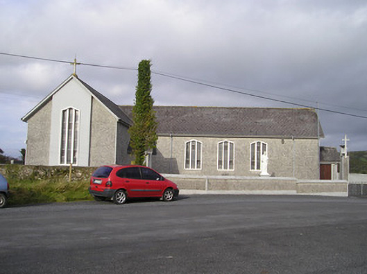 Saint Ailbe's Catholic Churchchurch/chapel · 1296 yd
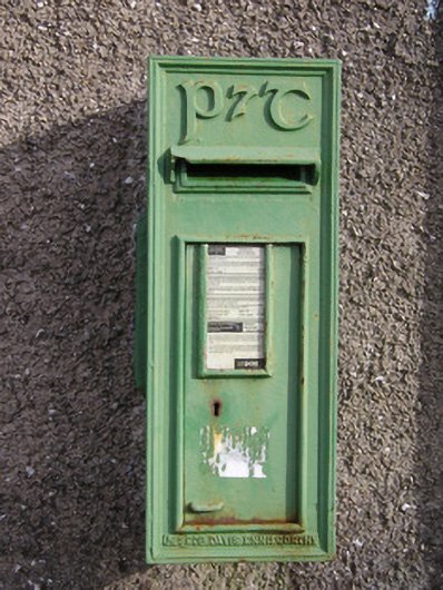 post boxpost box · 1697 yd
 Banoge's WellSpring · 1.1 mi
 Rockstown Castle (in ruins)Castle, tower house · 1.3 mi
 Skool HillMountain / peak · 1.4 mi
 Grange Stone CircleArchaeological place · 3.2 mi
 Villiers WellSpring · 4.5 mi
 Kilteely HillMountain / peak · 5.9 mi
 Flat cemetery in Knockainy WestFlat cemetery · 6.7 mi
Other information
Photo: Credit not shown in the picture search · Rights wording not checked; contact us if this picture should be removed