What is recorded here
Skoolhill holds a ruined cashel where human ingenuity met living rock. The builders did not fight the hill or cover it with soil. They cut through the limestone, bent the fort around the outcrop, and let the mountain help carry the wall. The field fences still radiate from that choice. They show a place where people learned the shape of the land before imposing their own.
Stone fort described in 1942-3 as following; 'A circular space enclosed by a very collapsed stone rampart, a large part of the N.E. sector of which is formed by the utilisation of a natural outcrop of limestone rock. The entrance is not recognisable. The overall diameter is 135' [41m]. This fort is in the centre of a complex of ancient field fences which run in various directions over the hilltop on which it is situated. Two of them join into the rampart, one on the west side, the other on the S.W.' (O'Kelly 1942-3, 230). Outline of cashel with circular-shaped annexe or quarry to NW clearly visible today on Digital Globe aerial photographs. Complex series of linear earthworks forming a field system to the S and W of the cashel are clearly visible on OSi aerial photographs but are not as clearly visible on Digital Globe aerial photographs
Compiled by: Caimin O'Brien
Date of upload: 2 March 2020
The monument record does not grant public access. Check the route and ask the landowner before entering private land.
- What survives
- Recorded monument
Places near here
 Field system in SkoolhillField system · 53 yd
 Bawn in SkoolhillBawn · 240 yd
 Skool HillMountain / peak · 554 yd
 Cashelmongan, HachuredEnclosure · 760 yd
 Banoge's WellSpring · 1098 yd
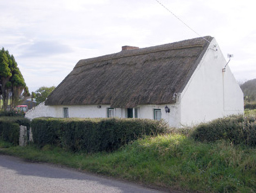 The Thatchhouse · 1428 yd
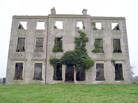 The Grangecountry house · 1571 yd
 Rockstown Castle (in ruins)Castle, tower house · 1.1 mi
 Carnane RockNamed rock · 1.7 mi
 ToberauillinSpring · 1.9 mi
 The SpectaclesVisitor information · 2.7 mi
 Lough GurVisitor information · 2.8 mi