
What is recorded here
Enclosure described in 1943 as following; 'This monument is roughly D-shaped on plan, the straight side being on the east and the curved portion to the west. The interior is a platform slightly raised above the field level. Surrounding it is a fosse. On the W. and N. W. it has been partially levelled. Some of the platform has been removed, the fosse filled up, and some of the material dumped outside in such a position that it now has the appearance of a short length of outer bank. The overall dimensions are 210' [64m] east to west and 168' [51m] north to south. It is called Cashel Mangan Fort on the O.S. map' (O'Kelly 1942-3, 224). The outline of the monument is visible today on Digital Globe aerial photographs.
Compiled by: Caimin O'Brien
Date of upload: 28 February 2020
A local fairy fort (ringfort/rath); wider significance not recorded.
This remains an important historical record, but the official description says the monument is no longer visible or has been destroyed. The monument record does not grant public access. Check the route and ask the landowner before entering private land.
- What survives
- No visible remains or recorded as destroyed
Places near here
 Bawn in SkoolhillBawn · 587 yd
 BarrowBarrow, mound barrow · 627 yd
 Field system in SkoolhillField system · 713 yd
 Skool HillMountain / peak · 1303 yd
 Banoge's WellSpring · 1557 yd
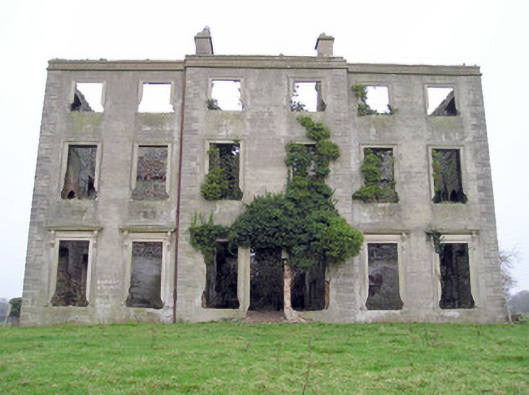 The Grangecountry house · 1614 yd
 Sixmile Bridgebridge · 1.1 mi
 Rockstown Castle (in ruins)Castle, tower house · 1.5 mi
 Carnane RockNamed rock · 1.9 mi
 Grange Stone CircleArchaeological place · 2.6 mi
 Villiers WellSpring · 3.1 mi
 European ashEuropean ash · 4.2 mi
Other information
Photo: Credit not shown in the picture search · Rights wording not checked; contact us if this picture should be removed