What is recorded here
From OpenStreetMap (© OpenStreetMap contributors) n4665203719
Places near here
Photo credits
- N Chadwick, Geograph · CC BY-SA 2.0
- Bob Embleton, Wikimedia Commons · CC BY-SA 2.0
- N Chadwick, Wikimedia Commons · CC BY-SA 2.0
- Maker not stated on source page, monumentalireland.ie
- Maker not stated on source page, www.flickr.com
- National Inventory of Architectural Heritage
- Alex McGregor, Geograph · CC BY-SA 2.0
- Kmcnamee, Wikimedia Commons · CC BY-SA 4.0
- Maker not stated on source page, www.alamy.com
 Ww2 Éire MarkerHeritage attraction · 385 yd
Explorer Tom WW2 Éire Marker: This marker looks like it’s got an imaginary twin across the Atlantic, just waiting for a phone call…
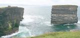 Downpatrick HeadHeadland · 516 yd
Explorer Tom Downpatrick Head claims it’s older than the concept of time itself, which is a bold move for a headland that just looks…
 Dún BristeVisitor attraction · 520 yd
Explorer Tom Dún Briste in Mayo has clearly made a New Year's resolution to stop crumbling, but it hasn't exactly stuck to the plan…
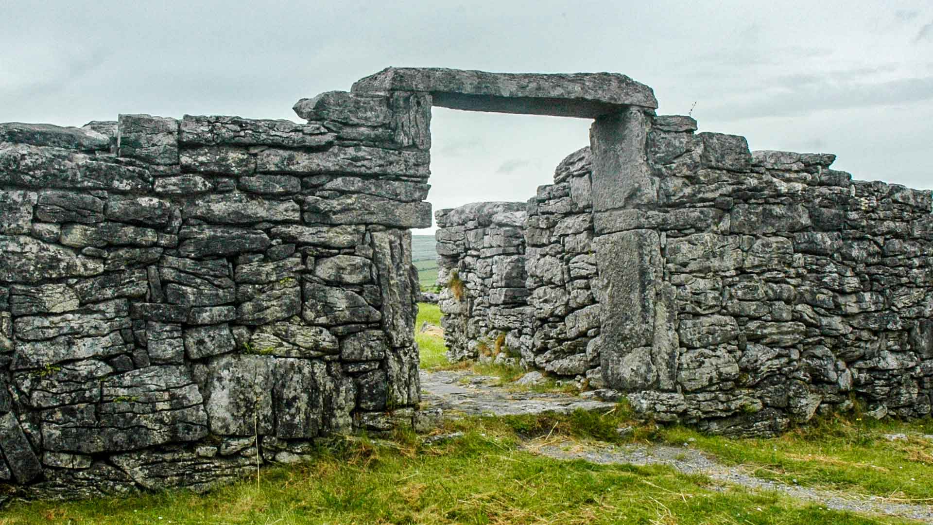 Fairy fort / ringfort in CabintownFairy fort / ringfort · 1.6 mi
Explorer Tom Fairy fort / ringfort in Cabintown would say to the place that replaced it: 'You’ve got a good roof on you, I’ll give…
 Stone Circle1.6 mi
Explorer Tom Stone Circle in Cabintown is a subtriangular mess that definitely wasn’t planned, which makes it even more charming in…
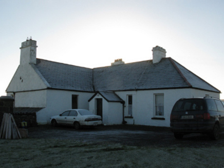 rectory/glebe/vicarage/curate's house2.4 mi
Explorer Tom This Doonfeeny Upper rectory has high walls because the vicar needed privacy from his own thoughts. It would rate…
 Ballycastle BeachBeach / strand · 2.4 mi
Explorer Tom Ballycastle Beach in County Mayo is the strand at Bunatrahir Bay, about a mile north of the village, with dunes at its…
 Ballycastle Coastguard StationCoastguard station · 2.5 mi
Explorer Tom Ballycastle Coastguard Station has a long-standing grudge against the weather, even though they just did a total…
 Tom Langan Park, Ballycastle GAAGAA ground · 2.5 mi
 Doonfeeny CemeteryCemetery · 2.9 mi
Explorer Tom Doonfeeny Cemetery is protected by a superstition locals swear by: if you sneeze inside, you owe them a pint. It’s a…
 Céide Fields Visitor CentreVisitor information · 4.6 mi
Explorer Tom Céide Fields Visitor Centre has this tall tale about a hidden tunnel to the pub going around. I’m not sure if it’s…
Lacken, Lacken Sarsfields GAAGAA ground · 6.5 miMore viewpoints and information in County Mayo · All of County Mayo

What do you know about this place?Tap to add a comment or ask a question