
What is recorded here
Described in 1980 as 'A small modern rectangular enclosure outlined by a modern wall of concrete blocks. This enclosure is open on the S side at the roadway and there is a smaller enclosure. There is a modern ringed cross erected in the enclosure at the junction of the larger and smaller. The stone cross has rope…
Read the whole record
From the National Monuments Service (Archaeological Survey of Ireland) record WM027-066004
Places near here
Photo credits
- Maker not stated on source page, www.dreamstime.com
- Maker not stated on source page, commons.wikimedia.org
- Dylan Moore, Geograph · CC BY-SA 2.0
- MookiePlays, Wikimedia Commons · CC BY-SA 4.0
- National Inventory of Architectural Heritage
- Maker not stated on source page, www.rte.ie
- Maker not stated on source page, theirishaesthete.com
- Maker not stated on source page, www.mysteriousbritain.co.uk
- Maker not stated on source page, www.pinterest.com
 Clonfad GraveyardGraveyard · 104 yd
Explorer Tom Clonfad Graveyard in County Westmeath has strict rules for visitors, mostly about not stepping on the grass and…
 Earthwork in RattinEarthwork · 1371 yd
Explorer Tom Earthwork in Rattin is cursed to only affect people who don’t wave at it properly. It’s invisible, unmarked, and…
 Bawn in RattinBawn · 1376 yd
Explorer Tom Bawn in Rattin would use its lotto win to buy a very large hat for the sheep that live nearby. It’s just a wall that…
 Rattin CastleCastle, tower house · 1384 yd
Explorer Tom Rattin Castle hosted a love story where two people fell in love but couldn't agree on whose turn it was to chop wood.…
 bridge1593 yd
Explorer Tom Bridge in Rattin is just a well-built bridge that thinks it’s a civil engineering masterpiece. It’s sitting there…
 Griffinstown HouseCountry house · 1.4 mi
Explorer Tom Griffinstown House is strutting around Westmeath like it invented the word 'elegant.' The Greek porch is so fancy it’d…
 CastleCastle, unclassified · 1.7 mi
Explorer Tom Hightown Castle is planning a retirement in a field where nobody can find its coordinates. It is officially 'somewhere'…
 Bullaun stone in BaltigeerBullaun stone · 1.8 mi
Explorer Tom Bullaun stone in Baltigeer was tried to be bought by a very confused cow. It has one hollow that might just be a…
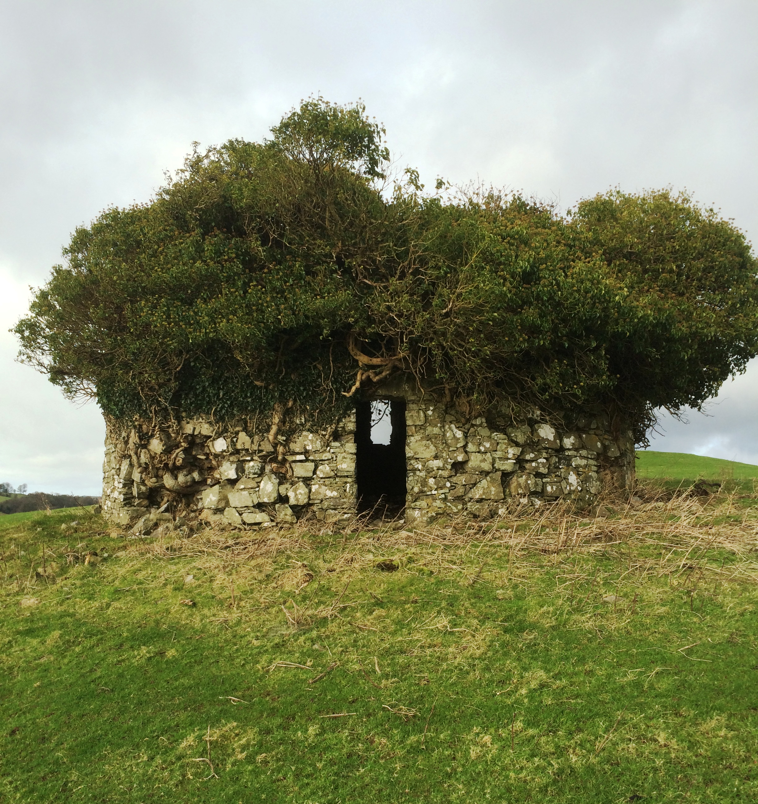 Fairy fort / earthen ringfort in Heathstown (farbill By.)Fairy fort / earthen ringfort · 2.0 mi
Explorer Tom Fairy fort / earthen ringfort in Heathstown is where smugglers allegedly hid crates of questionable cheese behind that…
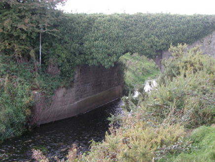 Baltinoran BridgeBridge · 2.8 mi
Explorer Tom Baltinoran Bridge in Carrick has been hiding a scandal where the river moved, and nobody checked with the bridge first.…
 Church in KilkeeranChurch · 3.1 mi
Explorer Tom Church in Kilkeeran is basically an ash tree standing over a site where a church used to be, which is quite the ego…
 Castlejordan CemeteryCemetery · 4.4 mi
Explorer Tom Castlejordan Cemetery is where I’m pretty sure a fake royal visit happened in the eighteenth century, but nobody can…
More archaeology and monuments in County Westmeath · All of County Westmeath

What do you know about this place?Tap to add a comment or ask a question