What is recorded here
Situated on a prominent rise, in gently undulating pasture. Depicted on the revised 1913 ed. OS 25-inch map as a suboval-shaped earthwork which is open to NE. Monument described as a much disturbed roughly oval-shaped area (dims. 31.5m E-W; 21.7m N-S) enclosed by a low bank which is almost reduced to a scarp. There is no visible trace of an external fosse. The exterior of the bank is disturbed from NNE-E-ESE and the ground at the base of the bank at W has been much disturbed by quarrying. The original entrance is not recognisable. The interior has a gentle E-facing slope and is primarily occupied by an oblong-shaped quarry hole, as depicted on the revised 1913 ed. OS 25-inch map. Monument is visible today as a roughly oval-shaped earthwork on Digital Globe aerial photography.
See attached profile of monument surveyed and drawn by the ASI.
Compiled by Alison McQueen, Vera Rahilly and Caimin O’Brien.
Date of upload: 06 November 2019
This remains an important historical record, but the official description says the monument is no longer visible or has been destroyed. The monument record does not grant public access. Check the route and ask the landowner before entering private land.
- What survives
- No visible remains or recorded as destroyed
Places near here
 OutlinedFairy fort / earthen ringfort · 459 yd
 Enclosure in Hightown or BalloughterEnclosure · 570 yd
 Heathstown CastleCastle, tower house · 711 yd
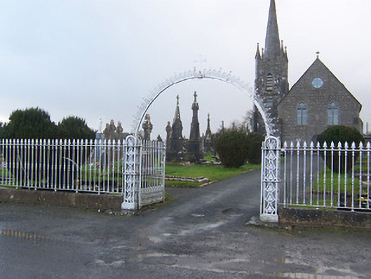 Saint Agnes's Catholic Churchgates/railings/walls · 1088 yd
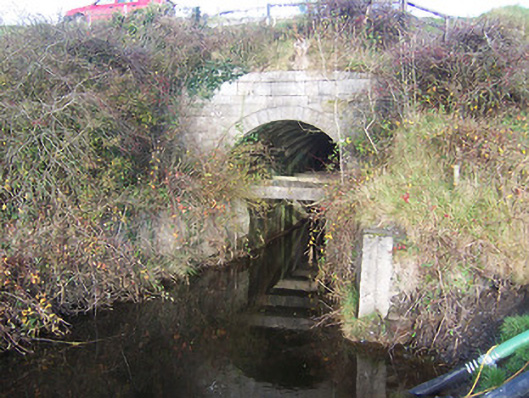 aqueductaqueduct · 1648 yd
 CastleCastle, unclassified · 2.0 mi
 Abandoned Kinnegad CanalWood · 8.0 mi
 Rahin WoodsForest · 8.2 mi
 Croppies' GraveMemorial · 8.8 mi
 CrossCross, Wayside cross · 1532 yd
 Partially hachuredFairy fort / earthen ringfort · 1714 yd
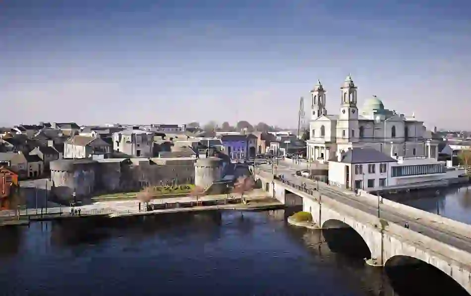 Man-made underground passage in BanagherMan-made underground passage · 1753 yd