
What is recorded here
Situated on a very slight rise, in gently undulating pasture. Depicted on the revised 1913 ed. OS 25-inch map as a roughly oval-shaped tree-planted earthwork. Monument described in 1971 as a much disturbed oval-shaped area (dims. 27.3m NNW-SSE; 20m WSW-ENE) enclosed by a very low earthen bank visible from ESE-S-W, by a modern field fence from W-N-NNE and by a scarp from NNE-E-ESE. A modern field fence running NNW-SSE is directly abutting the monument to ENE. There is no visible trace of a fosse and the original entrance is not recognisable. Monument is visible today as a subcircular-shaped cropmark on Digital Globe aerial photography. There are two further similar cropmarks visible c. 30m to SW and c. 130m to W, on Digital Globe aerial photography.
Compiled by Alison McQueen, Vera Rahilly and Caimin O’Brien.
Date of upload: 06 November 2019
This remains an important historical record, but the official description says the monument is no longer visible or has been destroyed. The monument record does not grant public access. Check the route and ask the landowner before entering private land.
- What survives
- No visible remains or recorded as destroyed
Places near here
 Enclosure in Hightown or BalloughterEnclosure · 75 yd
 Heathstown CastleCastle, tower house · 1162 yd
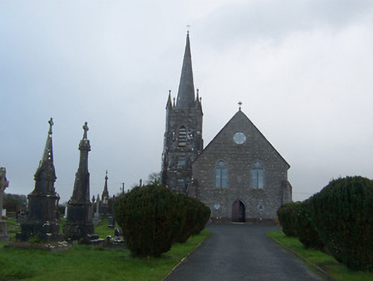 Saint Agnes's Catholic Churchchurch/chapel · 1541 yd
 CrossCross, Wayside cross · 1579 yd
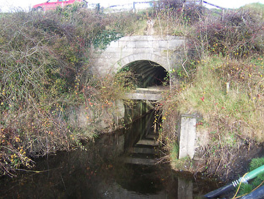 aqueductaqueduct · 1.1 mi
 Moat of PassCastle, motte · 2.3 mi
 Rahin WoodsForest · 8.2 mi
 Roundhill WoodForest · 8.3 mi
 Croppies' GraveMemorial · 8.9 mi
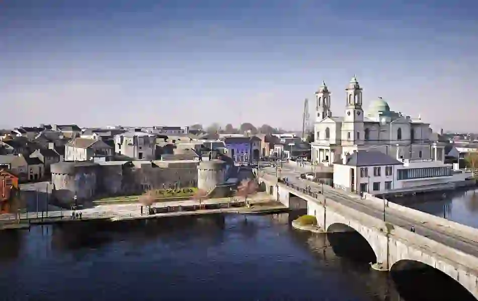 Man-made underground passage in BanagherMan-made underground passage · 1.3 mi
 sluice/sluice gatesluice/sluice gate · 1.3 mi
 Ecclesiastical site in CrossanstownEcclesiastical site · 1.4 mi
Other information
Photo: Credit not shown in the picture search · Rights wording not checked; contact us if this picture should be removed